Having trouble using KML overlays for states and countries
51 views
Skip to first unread message

Michael Kaufman
Jul 20, 2011, 12:45:36 PM7/20/11
to google-map...@googlegroups.com
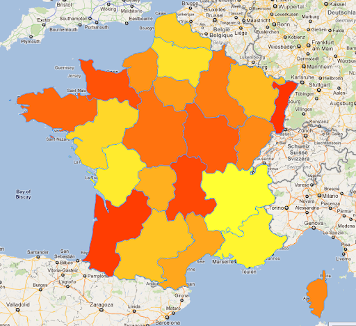
Ideally I would want my map to function similarily to how this image looks.
Is it possible?

Rossko
Jul 20, 2011, 3:25:55 PM7/20/11
to Google Maps JavaScript API v3
> but nothing happens when I link up the KML file into my map
Can't see your KML, can't see your map
http://groups.google.com/group/google-maps-js-api-v3/t/2b3f101fd509919e

Lloyd Force
Jul 20, 2011, 6:01:02 PM7/20/11
to Google Maps JavaScript API v3
I did exactly this but unfortunately the work isn't public. here's the
strategy;
1. you need one big kml layer for the top level map
2. you need individual layers for each region
3. you will bind click event listeners for top layer that hide itself
and turn on later for the child region
4. do the same for the smaller region, mutatis mutandis
I'm writing on my phone so I can't been more verbose :(
On Jul 20, 12:45 pm, Michael Kaufman <michael.allan.kauf...@gmail.com>
wrote:
> <https://lh6.googleusercontent.com/-EIUhKWCQ4n4/TicGHt7As2I/AAAAAAAAAJ...>
> My goal is to have a map which has different states and countries display
> with overlays using KML. I have tried to incorporate a KMl file from a
> generator (http://www.zonums.com/gmaps/colorit2.php?action=color&dset=FRANCE&tma...)
> with overlays using KML. I have tried to incorporate a KMl file from a
Reply all
Reply to author
Forward
0 new messages