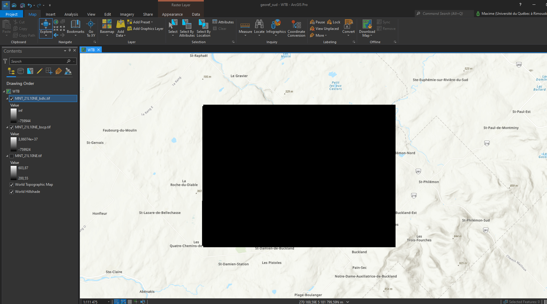
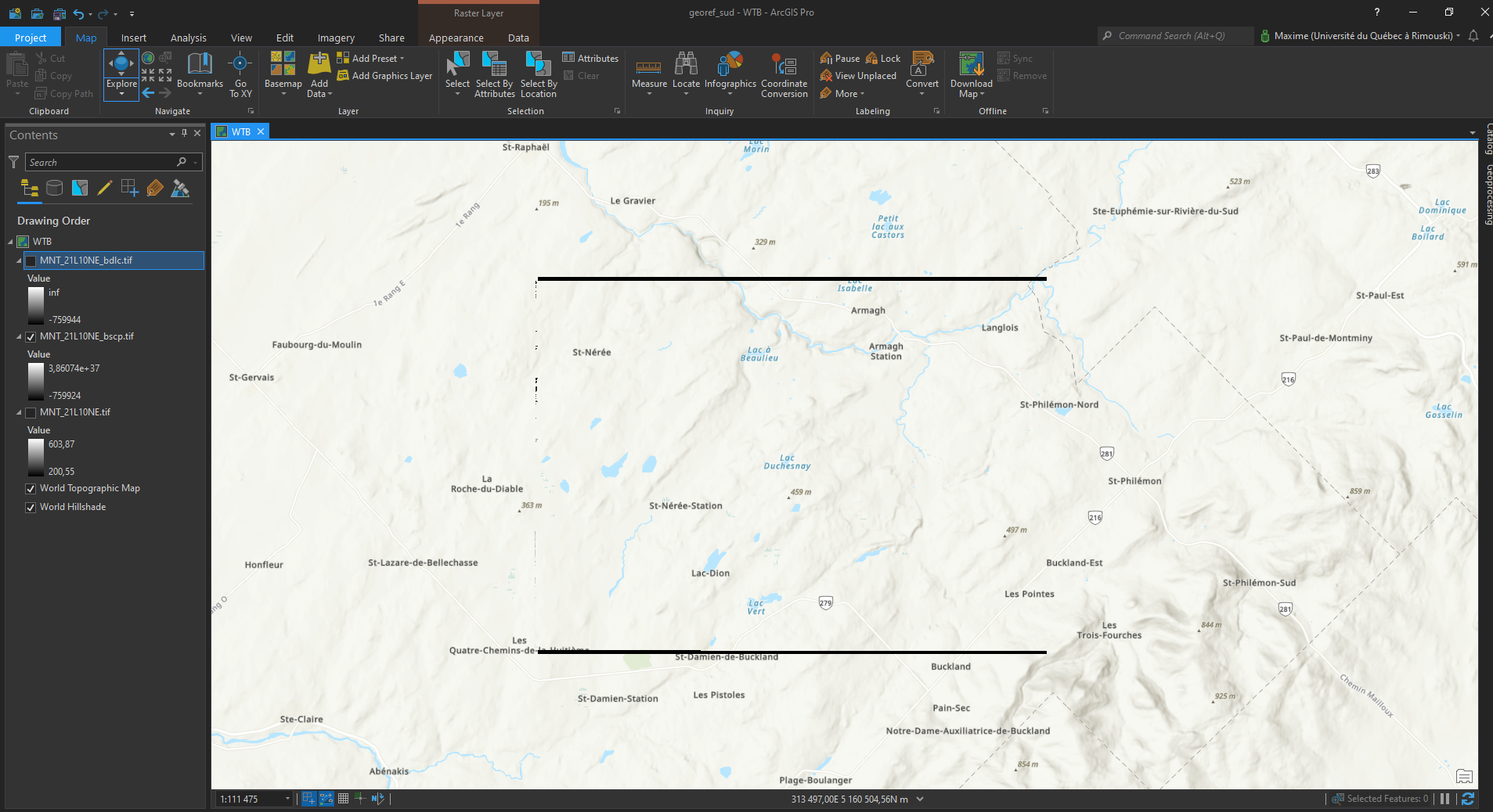
Breach single cell pits and Breach depression least cost error

Maxime Maltais
Thank you,

Whitebox Geospatial Inc
The issue seems to be with the GeoTIFF file rather than the tool(s). Whitebox does not support all forms of the GeoTIFF format and there is something about this particular file that is unsupported. I cannot
quite put my finger on what the issue is right now, but I’ll look into it further. How did you create the file? I saved it as a new GeoTIFF in QGIS (backed by GDAL, I should think) and it worked fine.
Regards,
John
Maxime

--
You received this message because you are subscribed to the Google Groups "WhiteboxTools" group.
To unsubscribe from this group and stop receiving emails from it, send an email to
whiteboxtool...@googlegroups.com.
To view this discussion on the web visit
https://groups.google.com/d/msgid/whiteboxtools/a5921321-5e5e-4c77-a311-a525cca550fbn%40googlegroups.com.
For more options, visit https://groups.google.com/d/optout.
Maxime Maltais

Jean-François Bourdon
Whitebox Geospatial Inc
Jean-Francois,
Preditor=2 is supported by the WhiteboxTools GeoTIFF reader:
https://github.com/jblindsay/whitebox-tools/blob/55453216d10961ab316ffb2539bb809d4bedc407/whitebox-raster/src/geotiff/mod.rs#L1608
Regards,
John
To view this discussion on the web visit https://groups.google.com/d/msgid/whiteboxtools/6b5ff318-718d-4f13-89fe-e081f4b933c2n%40googlegroups.com.