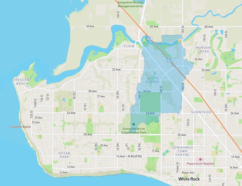
Watershed delineation starting from a flat area
Stephen Hillier

Stephen Hillier
Whitebox Geospatial
Hi Stephen,
Thank you for the questions and my apologies about the delay in replying to this. We have been a bit bogged down with the release of our new website and the recent launch of WhiteboxTools v.1.5.0.
As for your question,
I would try to experiment with the “flat _increment value” parameter in the BreachDepression Tool. This is an optional parameter that is left blank, but it may be helpful in your case to set it to an extremely small value to ensure that flow can travel across extremely flat areas. The flat increment value is dependent upon the elevation range in the input DEM and is generally a very small elevation value (e.g. 0.001). It may be necessary to override the default elevation increment value in landscapes where there are extensive flat areas resulting from depression filling (and along breach channels). Values in the range 0.00001 to 0.01 are generally appropriate. Increment values that are too large can result in obvious artifacts along flattened sites, which may extend beyond the flats, and values that are too small (i.e. smaller than the numerical precision) may result in the presence of grid cells with no downslope neighbour in the output DEM.
Best,
The Whitebox Geospatial Team
