Skip to first unread message
Graham Easterling
May 29, 2022, 4:13:27 AM5/29/22
to Weather and Climate
Yesterday morning the forecast maximum for Penzance was 16C, it reached 19.0C


Currently the UKMO maximum forecast is 15C. (at 3pm).
This is the current forecast (the wording just as bad)

At 09:00 it was 15.8C, 16C at Newquay. Not a cloud in the sky here in Penzance

These forecasts are getting just silly. The beach cafe owners will be marching to Exeter!
Graham
Penzance
Graham Easterling
May 29, 2022, 9:17:19 AM5/29/22
to Weather and Climate
In practice, prolonged sunshine continued along the coast of Mount's Bay until noon, when the inland Cb started to spread and affect the coasts. Maximum in Penzance (so far) 17.8C late morning. Persistently sunny near Lands End, where it reached 18.4C. Much cooler inland under the cloud, much nearer the forecast 14C at times.

 .
.

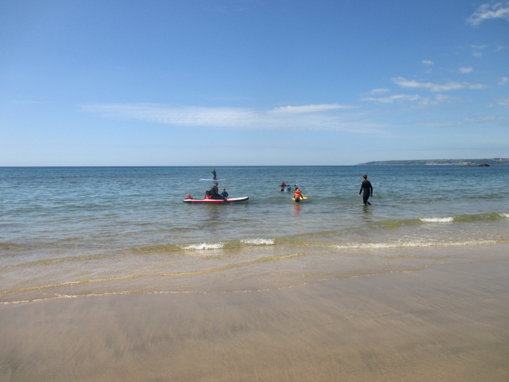
Perranuthnoe beach, near Marazion, around 11:15

But turn the camera inland
That eventually developed into this, which drifted slowly south.

Graham
Penzance
Len W
May 29, 2022, 5:32:57 PM5/29/22
to Weather and Climate
Devon had considerably more of the heavy showers than Cornwall.
It just shows that NWP is still struggling to predict this deep convection on the 10 to 100 km scale 12 hrs ahead.
Had 3.2 mm in my gauge.
I think the max temp. forecast for Plymouth today was about right.
16°C forecast. Actual 17°C at Mt Batten. 16.2°C in my garden.
Len
Wembury
Graham Easterling
May 30, 2022, 4:48:30 AM5/30/22
to Weather and Climate
I think my main issue here is that basic meteorology told you that in slack unstable conditions, showers were most likely to develop inland, and then drift (in this case general to south) in the gradient wind. In west Cornwall this favoured showers along the spine of the Lizard, which is exactly what happened. However, the forecast chance of rain, and temperatures, were the same on a coast where sea breezes were forecast, or the wind was just plain onshore, as elsewhere. An onshore sea breeze was correctly forecast for Penzance, so where was the rain coming from?
In the event the coasts of Cornwall were the UKs warm spots. Officially Bude (18C) unofficially Lands End (18.4C), Penzance 17.8C. The 17.8C was achieved around 11:00, when the forecast temperature was 14C. It was much cooler inland under the cloud.
I keep hearing of the smaller & smaller grids used for forecasts, yet a perfectly predictable evolution of yesterday's weather over Cornwall was totally unforecast. Shame really, as I find the model output a week ahead quite remarkable most of the time, yet converting it into a weather forecast continues to be a real issue.
From THE SENNEN COVE DIARY - MAY 29TH - SUNDAY
What? Another rip gribbler? Surely not. This morning there was a bit of cloud out to the east and the north, nothing to worry us at that moment but a change nevertheless. The breeze had moderated and gone around to the east - a potential benefit to the surfers if the swell picked up later - but enough cooling to make believe the skin is not frying with each passing minute. More aftersun goes on the shelf.
The forecast would have put many who believe their smartphones off going to the beach, where it was lovely. Another photo from yesterday.

Graham
Penzance
Len W
May 30, 2022, 5:29:54 AM5/30/22
to Weather and Climate
Yesterday for us it was n't a case of cloud building inland.
The cloud and rain was on a larger scale and drifted over us from the north in the afternoon.
Gave us 3.2 mm here on this part of S Devon coast.
Forecast of rain 90% was good.
It just missed you in west Cornwall.
Sea breezes on other occasions can keep us dry.
Len
Wembury
Reply all
Reply to author
Forward
0 new messages
