Skip to first unread message

xmetman
Jul 1, 2019, 1:36:30 PM7/1/19
to Weather and Climate
The news of the "freak" hail storm in Guadalajara seems to be making the headlines in today's news.
They even had Ben Rich gesticulating madly to describe just how hail is formed in a cumulonimbus cloud.
The trouble is that the news gives you little information about what actually happened - how can a metre of hail fall on the city of Guadalajara?
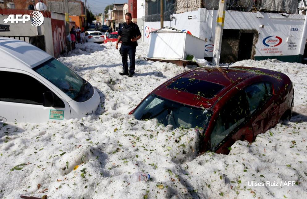
It always appears that feet of hail fell in certain location when its the accumulation of hail from a much wider area.
What it reminded me of was a thunderstorm that affected Ottery St Mary in 2008 leaving similar deep drifts of hail in parts of the town.
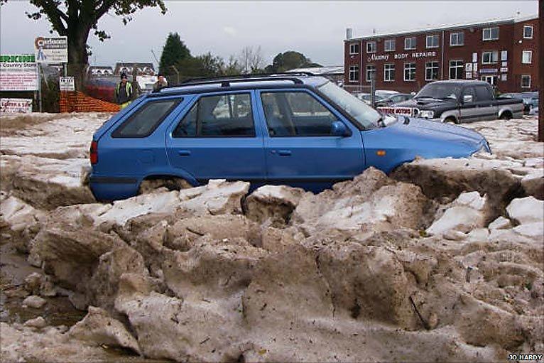
There was a similar picture of drifts of hail from a severe thunderstorm in a street in Tunbridge Wells in the 1950's if my memory serves me correctly.
xmetman
Jul 1, 2019, 2:22:04 PM7/1/19
to Weather and Climate
My long term memory can't be that bad - it's not the exact picture I was thinking about but it's near enough.

Reply all
Reply to author
Forward
0 new messages