xmetman

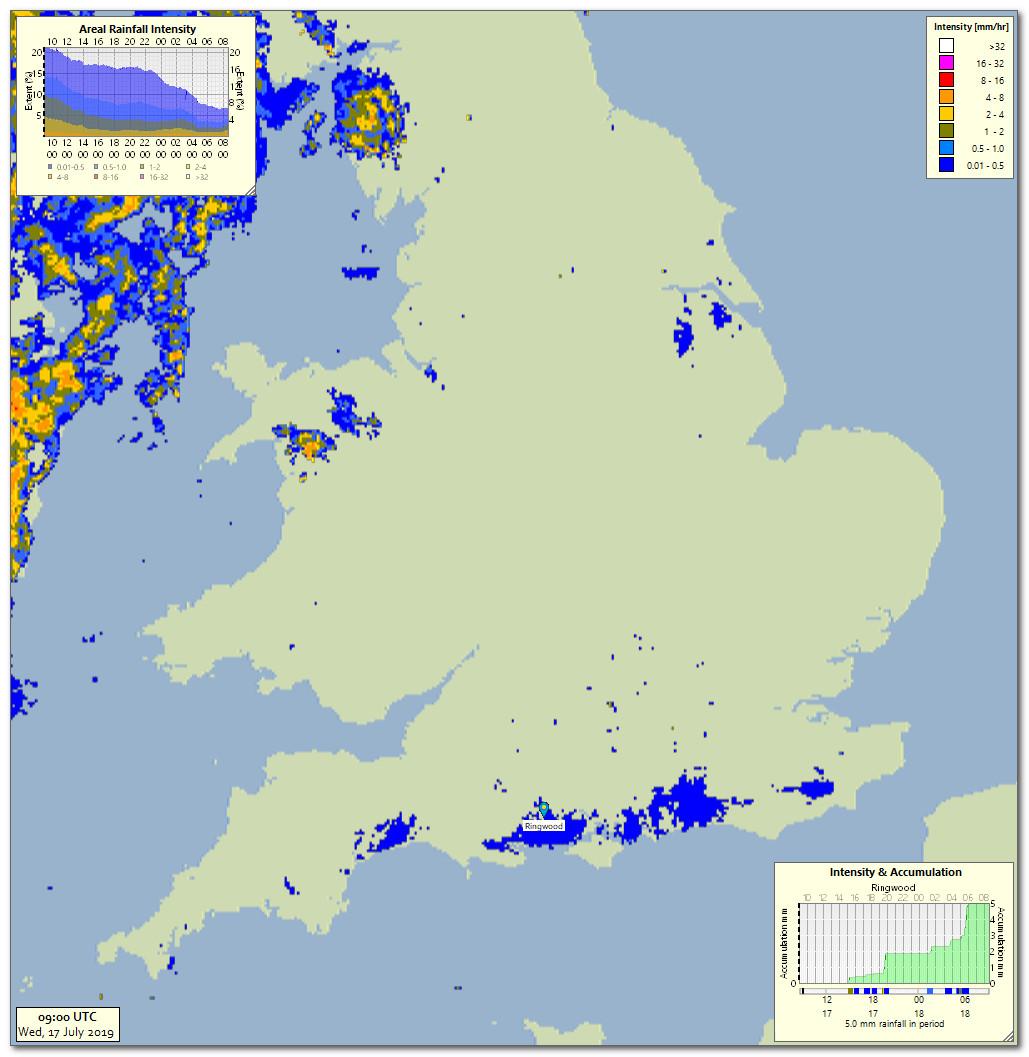
Apparently according to Simon King the radar was picking up flying ants along the south coast yesterday...

By coincidence I had noticed that the radar yesterday was over estimating rainfall intensities over a large part of NW Scotland.. Here are the 06-06 estimated totals.

Certainly for Strathpeffer estimated totals in excess of 30 mm were far too high.
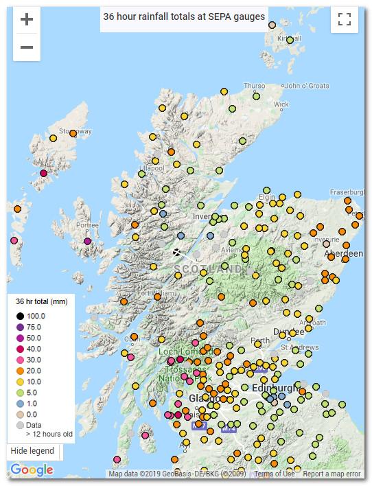
That was true for large parts of northern Scotland when compared to totals from the SEPA gauge network.
I realise the largest totals will be on high ground due to orographic effects, but even so the estimated totals look just way too high even on lower ground.
I have a sensitivity factor when I estimate rainfall totals that I can set to low, medium or high, a kind of fudge factor that I can nudge the totals up or down with.
I just wonder if someone in the rainfall radar team at the Met Office inadvertently left the sensitivity levels on high?
Or maybe they installed an updated version of the rainfall radar software this week, which would explain both the spurious high radar returns in Scotland and the "flying ants" across the south coast?
As conspiracy theories go, it seems just as plausible as "flying ants".

