[problem] compute nods onto a geographical map via long and lat
17 views
Skip to first unread message

Kevin Spathmann
Jul 8, 2020, 4:12:35 AM7/8/20
to visone-users
Dear visone-community,
I am absolutely new to the network stuff and therefore sometimes extremely helpless for some issues which can appear easily...
At the moment I am still collecting data for my analysis and I did some tests with it so far for checking if I am doing right in the way how to extract my data. Fortunately, except of mapping my nods onto a geographical map everything work just fine. Every node of my network got a longitude and latitude attribute (as decimal) since it represents an archaeological site (for example Sidon/Sayda in Lebanon "lat. 33559401 and long. 35369635"). After pressing "visualize" in the visualization tab I got an error:
09:54:54 [ERROR] negative or zero width
09:54:54 [INFO] one or more operations failed, see log window for details
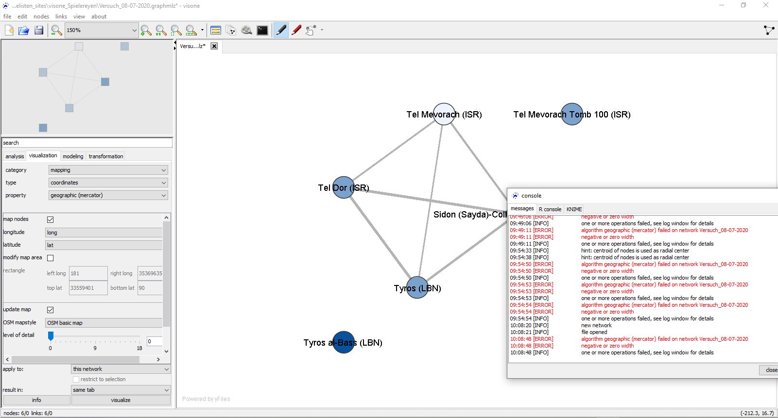
As you can see my settings in the screenshot, I hope that I did everything correctly so far. Thank you very much for your help! It will be really appreciated.
(for testing purposes I only took a handfull of sites for this "network" at the moment, no worries ;) )
Reply all
Reply to author
Forward
0 new messages