Input soil and fertiliser information
39 views
Skip to first unread message

Souvanik Maity
Oct 11, 2022, 2:58:41 AM10/11/22
to SWAT+
I have some soil data for a few locations, like N, P, and K. Can I input
these soil data in the SWAT+ model? I also have some fertilizer
information on the exact location. How do I input these data in the
SWAT+ model? I want to find the effect of non-point source pollution.
Need help.

Natalja C.
Oct 12, 2022, 3:28:42 PM10/12/22
to SWAT+
Hello,
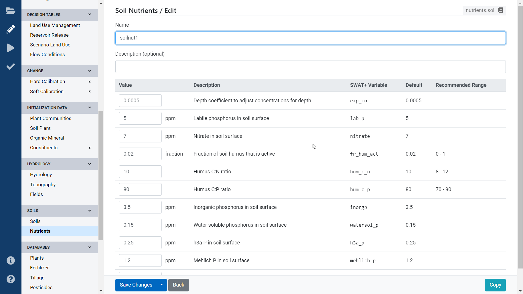
The soil properties can be an input in your nutrients.sol file. Select the relevant locations and update the information in this file.
The fertilizer is applied in the LU management section. You can find some examples with the standard swat+ installation.
All the best,
Natalja
Message has been deleted
Natalja C.
Oct 26, 2022, 9:57:43 AM10/26/22
to SWAT+
Hello,
Swat does not operate based on "coordinates", but rather on landscape positions. Your HRUs (that are a combination of soil, LU, slope) are VIRTUAL. Meaning, that you CANNOT map them. Yes, QGIS will show you their "location", but that is not how one should think. As soon as you press "create HRUs", you are transforming your model from spatial data into virtual grid, which is not associated with actual X,Y coordinates, only their position in the watershed (distance from the stream, how it is connected to other objects, etc.).
If you want to add the data to a "coordinate", then you need to do so at the data preparation stage. Determine which soil type has this nutrient information and add it in the initiation file for that soil type.
All the best,
Natalja
Reply all
Reply to author
Forward
0 new messages