Alternative to landuse barren
46 views
Skip to first unread message

Laia Verdura
Aug 22, 2022, 9:15:34 AM8/22/22
to SWAT+ Editor
Hello,
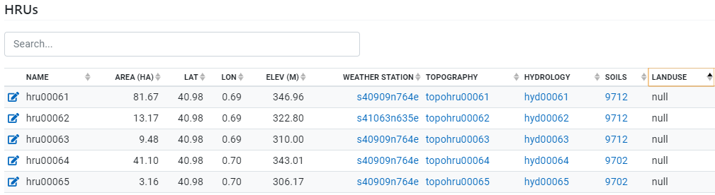
Older versions of the swatplus_datasets.sqlite dabatase had a BARR landuse, as well as a WATR landuse. Now, however, both this landuses have disappeared, and while any WATR hrus that are not part of a reservoir get converted to the landuse WEWT, I've realized that BARR hrus in the editor have a null landuse:
Is there an alternative landuse in the database that we could use instead of BARR (perhaps RNGB?) or would it be better to add the BARR landuse again? In our watershed it basically represents burnt areas, and while it's a very small fraction of our total surface area (0.07%), we'd still like to accurately represent it.
Thank you very much!
Laia

Hamza Tariq
Mar 1, 2023, 7:17:10 AM3/1/23
to SWAT+ Editor
I have the same question, my barren land constitutes around 25% of my watershed. But the code BARR is being red as NULL
Reply all
Reply to author
Forward
0 new messages