Outputting the heightmap of a SCMDeformableTerrain?

Whop42 Whop42

huwe...@gmail.com

Radu Serban
Wei – this is not what the original poster asked for.
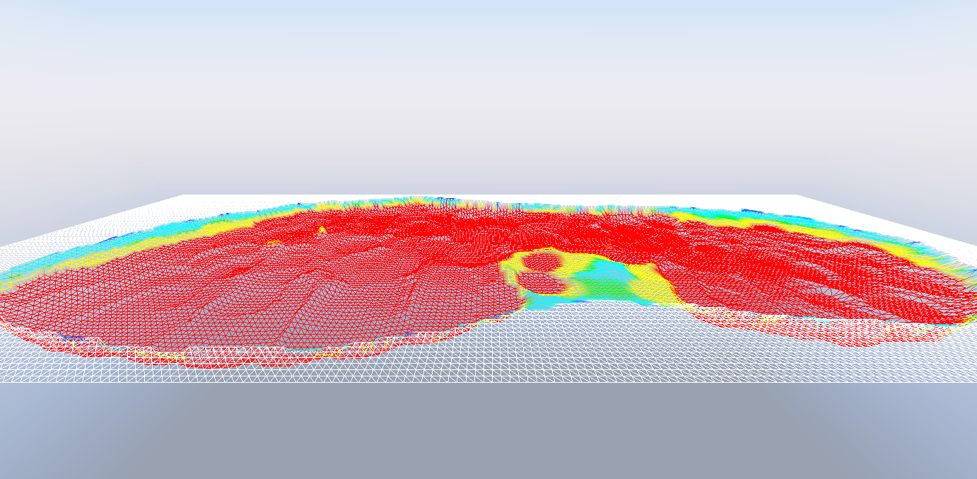
Whop42 – we do not have a function for exporting the deformed state of an SCM terrain patch as a heightmap. I’d be curious to know why you would want that in the first place. Nonetheless, you can generate a heightmap image yourself (e.g., with STB which is what we use to initialize an SCM patch from a heightmap). To do that, you can extract the current height of the SCM terrain at the locations you are interested in (SCMDeformableTerrain::GetHeight) or else grab the current visualization mesh ( SCMDeformableTerrain::GetMesh) and then convert these heights to grayscale and load an image pixel-by-pixel, effectively doing the reverse of what we do in SCMDeformableSoil::Initialize.
--Radu
--
You received this message because you are subscribed to the Google Groups "ProjectChrono" group.
To unsubscribe from this group and stop receiving emails from it, send an email to
projectchron...@googlegroups.com.
To view this discussion on the web visit
https://groups.google.com/d/msgid/projectchrono/76724687-dbbb-48b0-a730-87b088f21cf6n%40googlegroups.com.
Whop42 Whop42
Whop42 Whop42