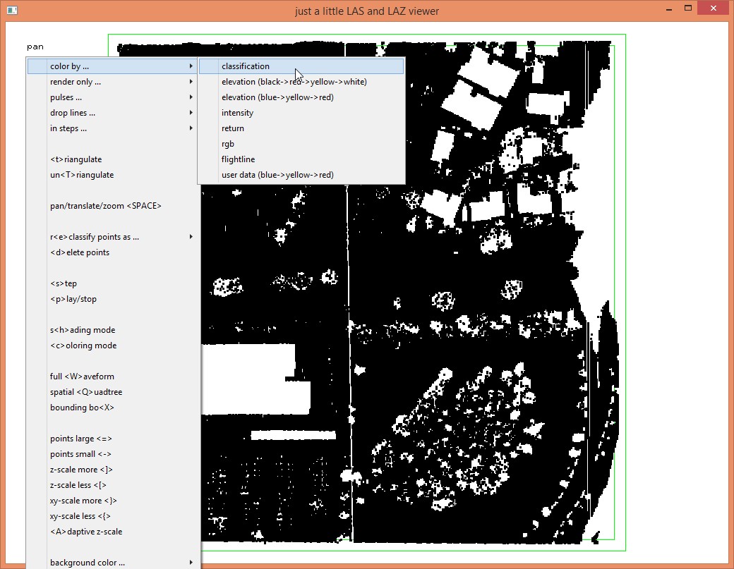
Classification copy between 2 las datasets

Shawn Ryan

Terje Mathisen
If the points are stored in identical order then you should be able to
simply use las2txt to export all fields except for classification from
one file and the class parameter from other, then merge them and convert
back to laz/las.
I bet I could do this for all tiles with a ~20-line perl program. :-)
Terje
--
- <Terje.M...@tmsw.no>
"almost all programming can be viewed as an exercise in caching"

Martin Isenburg
This was already answered in this thread here:
http://groups.google.com/d/topic/lastools/qxAqkWeTljk/discussion
We can do this with LASlayers if both files have the same number of points and in the same order. A little example. First I create my "other" LiDAR file with different z coordinates (normalized) and no classifications with lasheight and las2las:
D:\LAStools\bin>lasheight -i ..\data\fusa.laz ^
-replace_z ^
-o fusa_norm.laz
D:\LAStools\bin>las2las -i fusa_norm.laz ^
-set_classification 0 ^
-o fusa_other.laz
Then I make sure that they are as different as I want them to be with lasdiff:
D:\LAStools\bin>lasdiff -i ..\data\fusa.laz -i fusa_other.laz
checking '..\data\fusa.laz' against 'fusa_other.laz'
different system_identifier: 'LAStools (c) by Martin Isenburg' 'LAStools (c) by rapidlasso GmbH'
different generating_software: 'lasclassify (110920) unlicensed' 'las2las (version 151111)'
different max_z: 64.35 19.72
different min_z: 42.21 -1.76
headers have 4 differences.
z: 6435 1446
classification: 5 0
point 1 of 277573 is different
z: 6430 1441
classification: 5 0
point 2 of 277573 is different
z: 6309 1316
classification: 1 0
point 3 of 277573 is different
z: 6288 1294
classification: 1 0
point 4 of 277573 is different
z: 6300 1306
classification: 1 0
point 5 of 277573 is different
already 5 points are different ... shutting up.
277573 points are different.
both have 277573 points. took 0.672 secs.
Now I create my LAY file with the "classification layer" in two steps. First I create a helper LAZ file whose only difference is the empty classification layer:
D:\LAStools\bin>las2las -i ..\data\fusa.laz ^
-set_classification 0 ^
-o fusa_empty.laz
And then I use the LASlayers functionality to create the difference LAY file between the two files which will be only the classifications:
D:\LAStools\bin>laslayers -i fusa_empty.laz -i ..\data\fusa.laz -olay
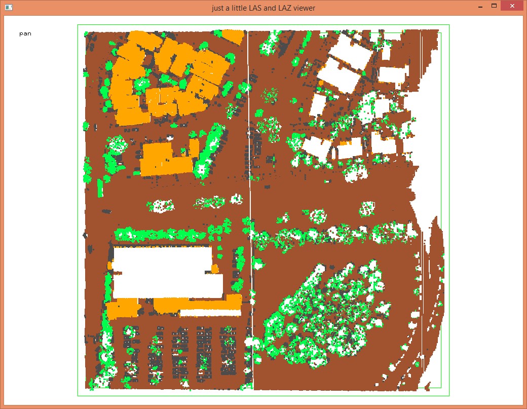
A quick sanity check with lasview and laslayers confirms that the LAY file contains exactly the classifications.
D:\LAStools\bin>lasview -i fusa_empty.lay
D:\LAStools\bin>lasview -i fusa_empty.laz -ilay
D:\LAStools\bin>laslayers -i fusa_empty.laz
LASlayer 1 of 1
start_position 276
size 15367
type 1 (replace)
fields 256 (classification)
compression 2 (pointwise)
modification_mask 48 (system_identifier generating_software)
ignore_mask 0
header_size 44
modification size 64
ignore size 0
description size 53
Now some trickery: We copy the LAY file so it can be used with the other file that has the better aligned coordinates:
D:\LAStools\bin>copy fusa_empty.lay fusa_other.lay
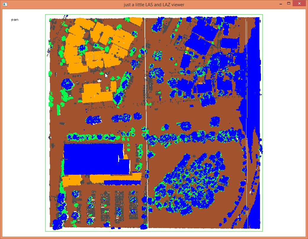
And voila ... lasview shows us it worked
D:\LAStools\bin>lasview -i fusa_other.laz
D:\LAStools\bin>lasview -i fusa_other.laz -ilay
So now we flatten the LAY file into the better LAZ file in a final run with laslayers:
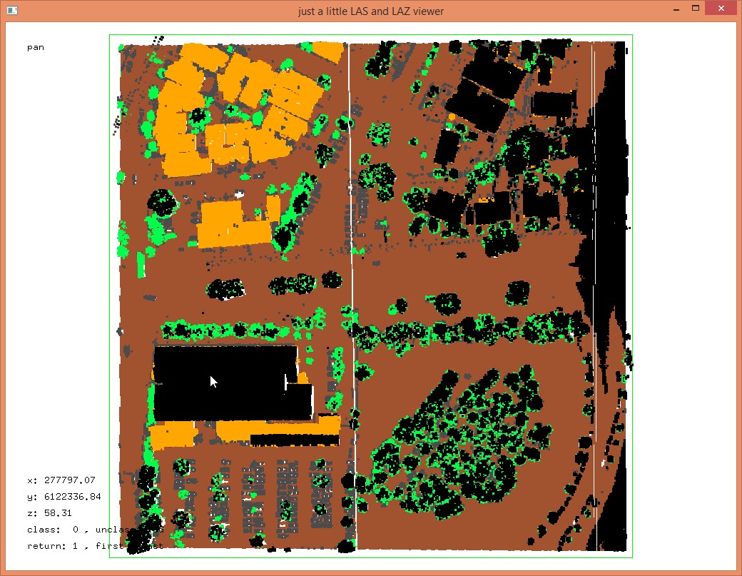
D:\LAStools\bin>laslayers -i fusa_other.laz -ilay -o fusa_other_classified.laz
And make a final check.
D:\LAStools\bin>lasview -i fusa_other_classified.laz
Should have worked ... (-:
More about LASlayers here:
http://rapidlasso.com/LASlayers
http://lastools.org/download/laslayers_README.txt
http://groups.google.com/forum/#!searchin/lastools/laslayers%7Csort:date
Martin @rapidlasso
> Download LAStools at
> http://lastools.org
> http://rapidlasso.com
> Be social with LAStools at
> http://facebook.com/LAStools
> http://twitter.com/LAStools
> http://linkedin.com/groups/LAStools-4408378
> Manage your settings at
> http://groups.google.com/group/lastools/subscribe

Evon Silvia
Martin Isenburg
D:\LAStools\bin>lasheight -i ..\data\fusa.laz ^
-replace_z ^
D:\LAStools\bin>las2las -i fusa_temp.laz ^
-set_classification 0 ^
-o fusa_source.laz
D:\LAStools\bin>laslayers -i fusa_source.laz -i ..\data\fusa.laz -olay
I've wondered about this for a while, too. In Martin's example the only difference between the two files is the classification, so that's the only property that gets overwritten, but the original question had two differences - elevation and class. Using the suggested workflow would overwrite the class (as desired) AND elevation (not desired), wouldn't it?If so, is there a way to select/delete particular layers from the LAY file so that only the desired layers get copied? That is, is there a way to delete all but the classification layer from the LAY so that it's the only layer that gets "flattened" into the LAZ file?Evon
On Wed, Nov 25, 2015 at 3:14 AM, Martin Isenburg <martin....@gmail.com> wrote:
Hello,
This was already answered in this thread here:
http://groups.google.com/d/topic/lastools/qxAqkWeTljk/discussion
We can do this with LASlayers if both files have the same number of points and in the same order. A little example. First I create my "other" LiDAR file with different z coordinates (normalized) and no classifications with lasheight and las2las:
D:\LAStools\bin>lasheight -i ..\data\fusa.laz ^
-replace_z ^
-o fusa_temp.laz

damrau
I saw this discussion in the user forum. But it don't fit the expectations. I have no guarantee that the numbers of points are identically. But for sure I can identify identically points via time stamp AND Echo.
Background:
Sometimes the precise adjustment and the classification are done in different places and from different companies. So it can happen, that some points are deleted in classification task.
The direction of copy is not important. We can bring the classification results to the adjusted las files or we can bring the coordinates of the adjusted las files to the classified data set.
Basically it works with TS "Copy from reference" but only for point clouds up to 20 Mio Points. I have some files they are up to 70 Mio Points.
Martin Isenburg
http://lastools.org/download/lascopy_README.txt
Here a little example using the venerable 'fusa.laz' how to copy the classifications from one version of this file to another one assuming that all the points keep their GPS time stamps and their return numbers intact (which are used to establish the matching):
--
Evon Silvia
Aicke Damrau
Hi Martin,
that's great thank you. Does it work also as blast, with extreme big Las files?
Mit freundlichen Grüßen
Aicke Damrau
Tel.: +49 391 50 95 95 80
Fax: +49 391 50 95 95 899
Mobil: +49 160 3653 111
Webshop Geodaten online: https://geoshop.geofly.eu

GeoFly GmbH
Ottersleber Chaussee 91
39120 Magdeburg
Business Airport
Martin Isenburg
Hello,
Currently the new lascopy tool should handle to just below 200 million points. If that is not enough I can easily add a huge_xxxx.bat scripts to the example_batch_script folder that will work similarly to the already existing batch script for sorting huge files by first creating a number of temporary files split by GPS time (and of course by scanner channel for LAS 1.4, thanks for the fore-sight, Evon).
Martin @rapidlasso