DJI Flight Ground Station w/ GE plugin
360 views
Skip to first unread message

arl...@gmail.com
Mar 9, 2015, 6:24:58 PM3/9/15
to google-earth-...@googlegroups.com
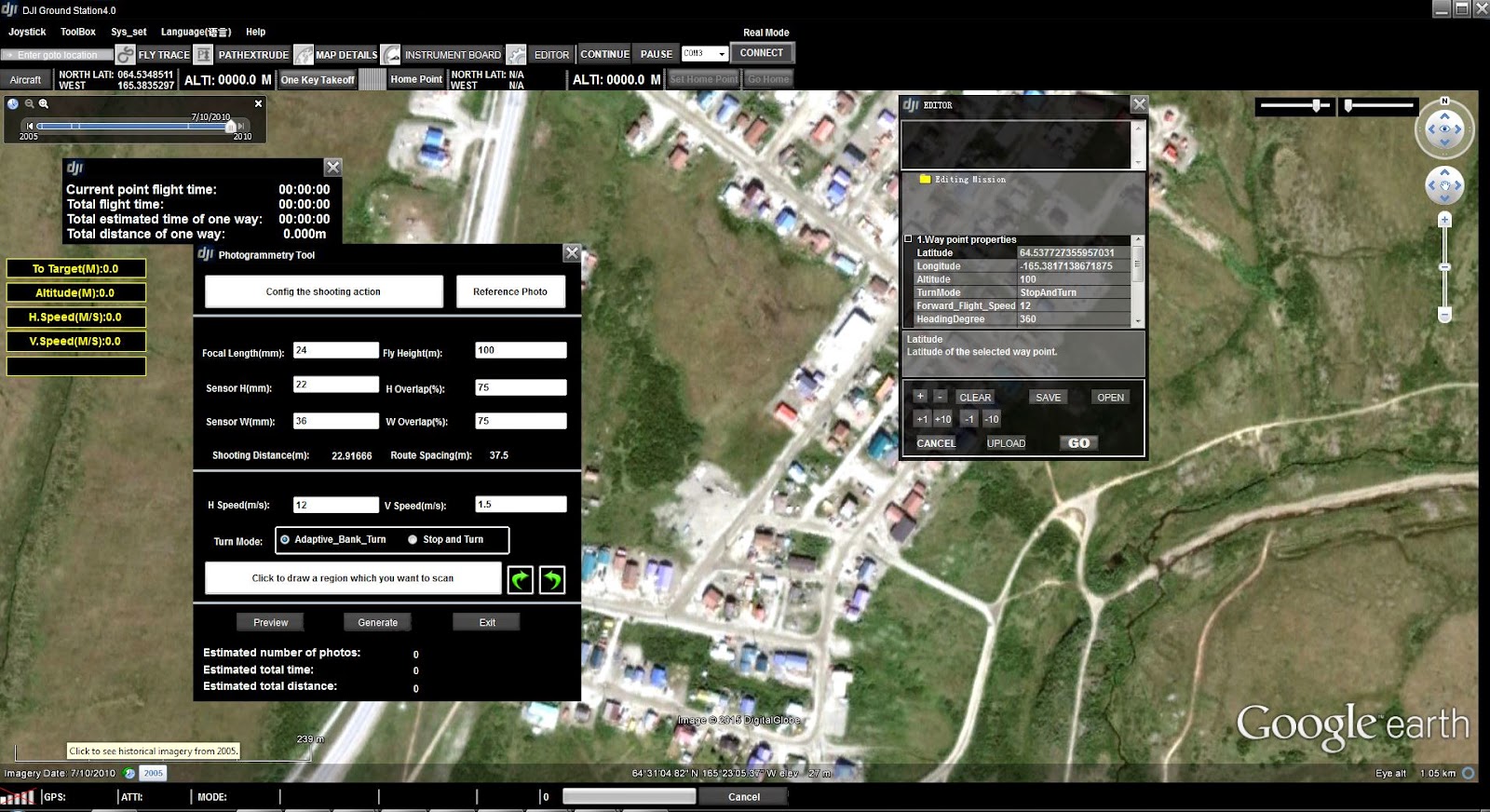
Functions include simple navigation tools, map date selection and a simple map details which toggle road names.
Is it possible for me to add features or just inject a full version of GE somewhere in the plugin?
I really want map overlays to help tie in my aerial surveys.
Contacting the software developers is kind of a dead end.
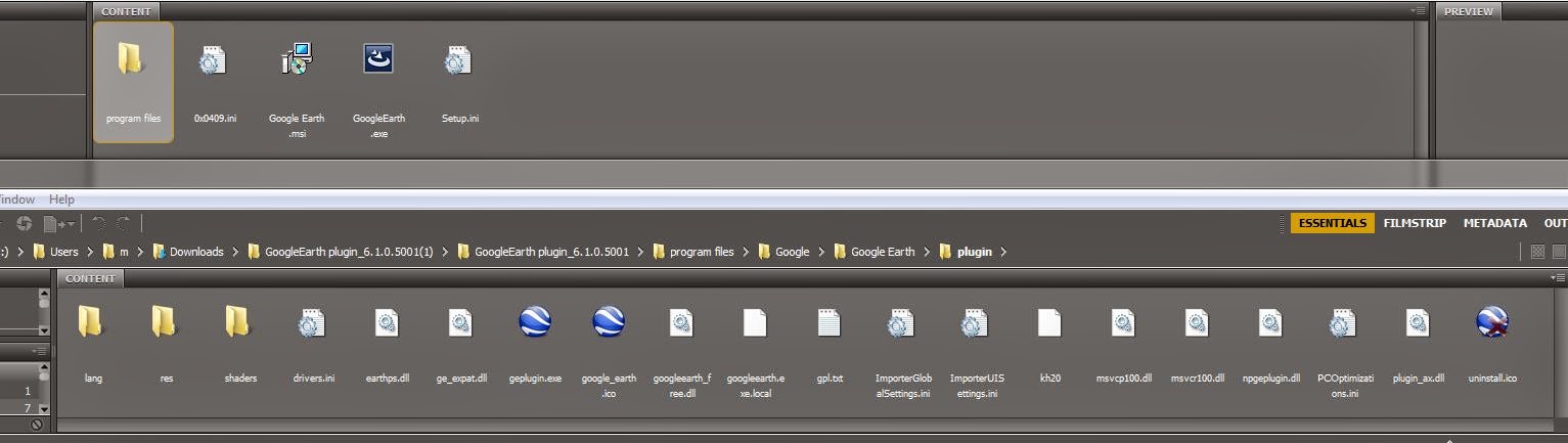
This is the link for the ground station and GE plugin download, if it helps, which anyone can install.
http://www.dji.com/product/pc-ground-station/download
Attached are some screen shots of the GS and the install files of the plugin.
THANKS!
Reply all
Reply to author
Forward
0 new messages