Is geocoding API required when using geochart in google charts?
27 views
Skip to first unread message

ChangYoon Kim
Mar 23, 2020, 6:22:53 AM3/23/20
to Google Chart API
I am currently using a geo chart from google chart.
Looking at the documentation on using the geo chart, I realized that I needed the 'maps javascript api' and added that api to the gcp project.
However, the following error was output to the browser console.
Google Maps API error: Geocoding Service: This API project is not authorized to use this API.....
So when I added the geocoding api to the gcp project, the corresponding error did not appear.
However, what I was wondering was that the geo chart was printed well without using the geocoding api. (Of course, the above error was output to the console.)
I am wondering if the geocoding api is essential for not displaying the marker on the map.
please answer about my question. Thank you.
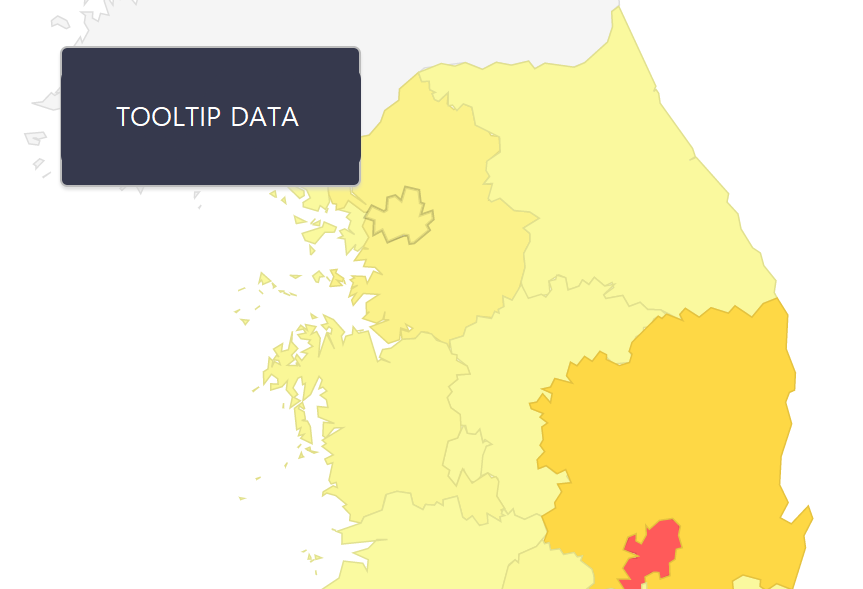
The picture below is a geo chart that I am using. When hovering the cursor over an area, the tooltip function is used to display information.
Reply all
Reply to author
Forward
0 new messages