Request to have a WMS layer also available as WMTS layer

Christian Riesen
I'm using leaflet (1.9.3) and this plugin to access WMTS layers: https://github.com/rkaravia/Leaflet.TileLayer.Swiss
That works great and the dev did a wonderful job. All layers from https://wmts.geo.admin.ch/EPSG/2056/1.0.0/WMTSCapabilities.xml work excellently.
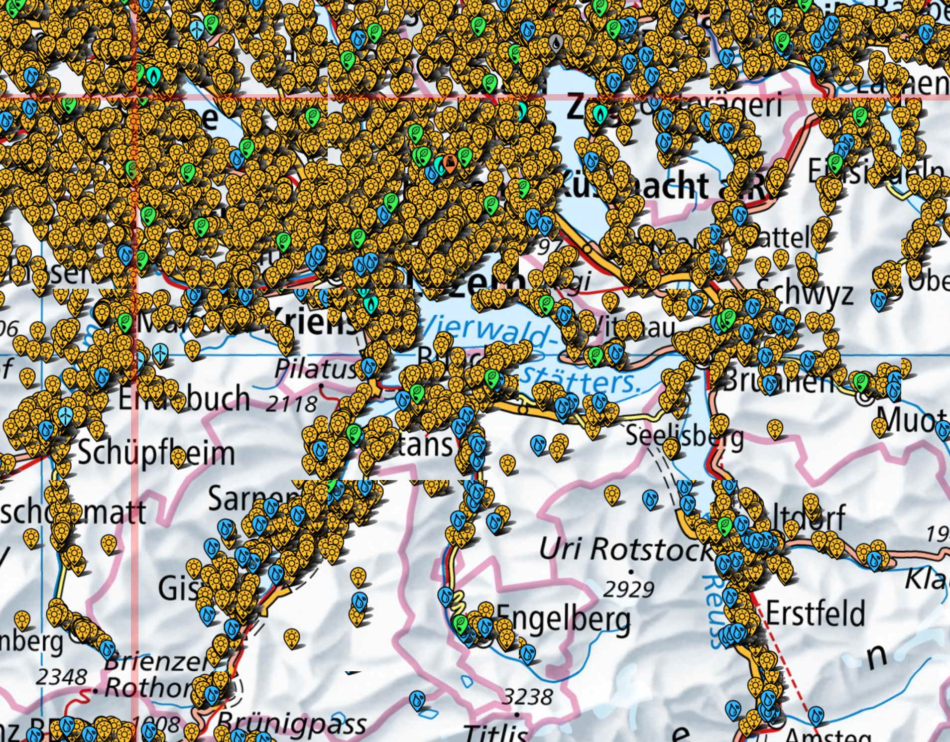
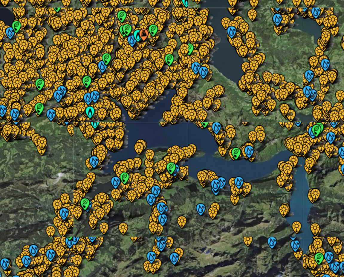
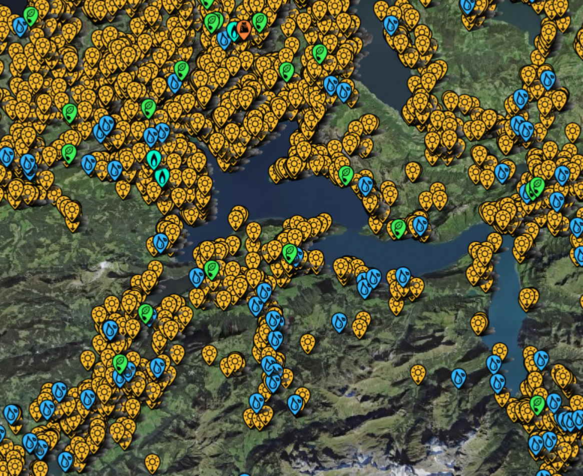
Now I would like to use the layer ch.bfe.elektrizitaetsproduktionsanlagen and that one is only accessible as a WMS layer. Technically leaflet should be able to handle WMS layers but so far I have not been able to get it to work "right". They issues are numerous and I can go into detail there, but wondering if perhaps there is a simpler (for me) solution: Can the ch.bfe.elektrizitaetsproduktionsanlagen layer also be exposed as WMTS layer?
I'm also interested in separated layers, for example just the solar production facilities, and not all then other ones smushed into the same layer as well. However that would be a more nice to have.
I did find a WMS example but that is using a leaflet version that is over 9 years old now, which then no longer works with other plugins and tools that I'm using. However if someone has a modern example of how to put the ch.bfe.elektrizitaetsproduktionsanlagen WMS layer into modern leaflet, I'd be very grateful as well.
Greetings,
Christian Riesen

Pascal Barth
--
You received this message because you are subscribed to the Google Groups "GeoAdminCh API" group.
To unsubscribe from this group and stop receiving emails from it, send an email to geoadmin-api...@googlegroups.com.
To view this discussion on the web visit https://groups.google.com/d/msgid/geoadmin-api/ef347a21-4763-4f3d-be1a-5cb8bd498d6an%40googlegroups.com.

David...@swisstopo.ch
Hi Christian
Since ch.bfe.elektrizitaetsproduktionsanlagen is updated quite frequently and it is a vector layer, we did not yet add it as wmts ( or WMS-C)
However, you can download it your self via STAC API https://data.geo.admin.ch/api/stac/v0.9/collections/ch.bfe.elektrizitaetsproduktionsanlagen (browser https://data.geo.admin.ch/browser/index.html#/collections/ch.bfe.elektrizitaetsproduktionsanlagen/items/elektrizitaetsproduktionsanlagen ) and use it as well locally. Just make sure you check for updates frequently
BFE is in cc—they might give us the task to add it as WMTS
Cheers
Dave
To view this discussion on the web visit https://groups.google.com/d/msgid/geoadmin-api/CAL%2BBOM0iwZ-tQ5NHBW1xSg5O%2BCTFMmgA6kSgbi9MLk37d2HT5g%40mail.gmail.com.
Christian Riesen
Christian Riesen
Pascal Barth
To view this discussion on the web visit https://groups.google.com/d/msgid/geoadmin-api/58a1bc4b-a458-4d73-8936-167bbfbe795an%40googlegroups.com.
Christian Riesen

David Oesch
To view this discussion on the web visit https://groups.google.com/d/msgid/geoadmin-api/ca25e0d6-e4f3-4911-ab46-4c6c2df7cd5dn%40googlegroups.com.
Pascal Barth
@Dave, with our new viewer : we should be doing it the same way, as we are once again using OpenLayers that has this gutter option. So I wouldn't see why we would want to change that right now, at least on the frontend side of things.
To view this discussion on the web visit https://groups.google.com/d/msgid/geoadmin-api/CAE7nro3mJo5jPA-eAX1X1HcqF18yyfyM_kRkYW%2BBhuV1x2Uf1A%40mail.gmail.com.
