Accuterra Map comparison
217 views
Skip to first unread message

mjb
Jul 23, 2015, 2:48:19 PM7/23/15
to Gaia GPS
http://help.gaiagps.com/forums/118985-ideas-for-gaia-gps/suggestions/6040892-get-proprietary-accuterra-maps?tracking_code=035ef5abef88092e5e43a68182ac785c
in the idea thread above, Andrew was looking for screenshots of AccuTerra vs. Cycling vs. USGS topo.
I made this thread so I can attach some screenshots about the differences that appeal to me.
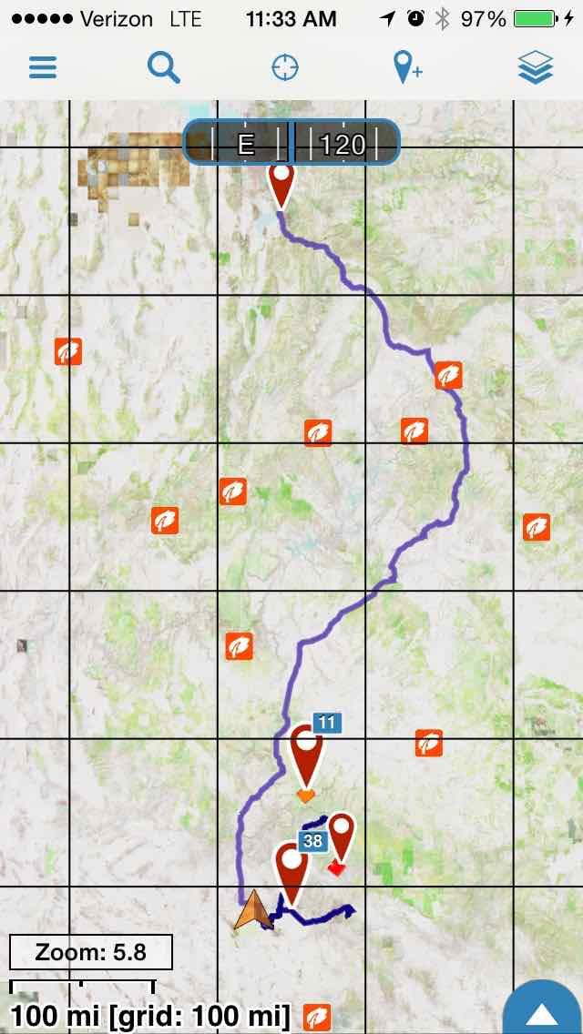
1.jpg = US Topo with about 10% elevation shading
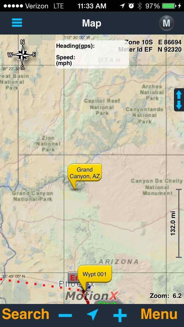
2.jpg = Accuterra (shown as a custom map in another app ... I had it working as a TileJSON, but it's not showing up now)
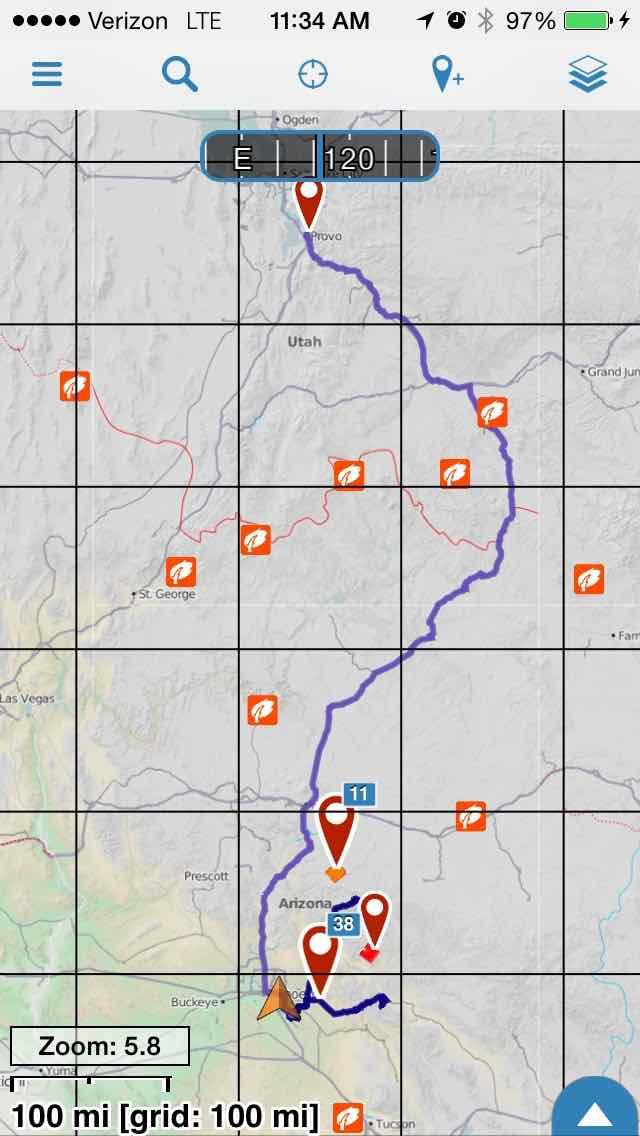
3.jpg = Cycling Topo Base map
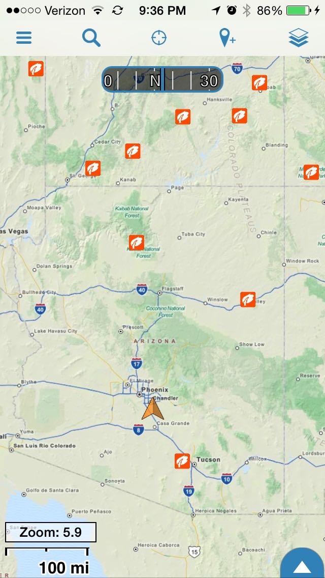
The primary thing I like about Accuterra vs. US Topo and Cycling Topo is at wide zoom. Take a look at 1.jpg and tell me where you are on the map. It's difficult to scroll across wide areas with US Topo maps. I've actually created routes that outline some western states so I can overlay the route to fine where i want to see on the map.
I'll try to post more examples later ... this is just the first one that I've noticed.

Andrew Johnson
Jul 23, 2015, 2:55:26 PM7/23/15
to Gaia GPS
Ah, interesting... I definitely see how the USGS and OSM based maps are sucking at those zoom levels.
I need to check out the MapBox outdoor layer and see how they do... we need to add that soon, at least for Pro.
We're also doing a bunch of work on the Gaia Vector Topo source in the app, so I'll try and get some work done on surfacing important natural landmarks at the 4-7 zoom range.
Regards,
Andrew
--
---
You received this message because you are subscribed to the Google Groups "Gaia GPS" group.
To unsubscribe from this group and stop receiving emails from it, send an email to gaia-gps+u...@googlegroups.com.
For more options, visit https://groups.google.com/d/optout.
mjb
Jul 23, 2015, 11:45:39 PM7/23/15
to Gaia GPS, and...@gaiagps.com
There are good workarounds to this map issue at wide zoom levels ... having an overlay map with state or county or other boundaries could easily solve this shortcoming with some of the maps (I made some tracks with boundaries and I can easily see where I am on the map). For my use, it's not the map colors as much as it is that it has more information at the wide zoom levels that made the Accuterra maps worth the cost for me.
The other things I noticed:
- I like how some labels are printed on the map at wide zooms. Gaia has the same data but you have to tap on each icon to see it. The Accuterra maps seem to change the labels at different zoom levels - not perfect and often the labels get in the way. So at higher zoom levels I like the USGS and Cycling maps with the Gaia overlays. Note that I mostly use the maps at higher zoom levels.
- Accuterra has higher contrast of roads and trails vs green/yellow background. I think this makes it easier when plotting a route offline. I find the accuterra maps are much easier to manually plot hikes, but after I've figured out the trail/direction I want to go, I switch over to the top maps with elevation shading to get a better idea of elevation changes for the route. The Cycling topo maps are acceptable for this also - just not as high of a contrast. If I'm plotting a route without a trail, accuterra maps are not as good as USGS topo+elevation shading.
I'll pull a few more screen shots.
mjb
Jul 24, 2015, 12:19:58 AM7/24/15
to Gaia GPS, m...@mjb.us
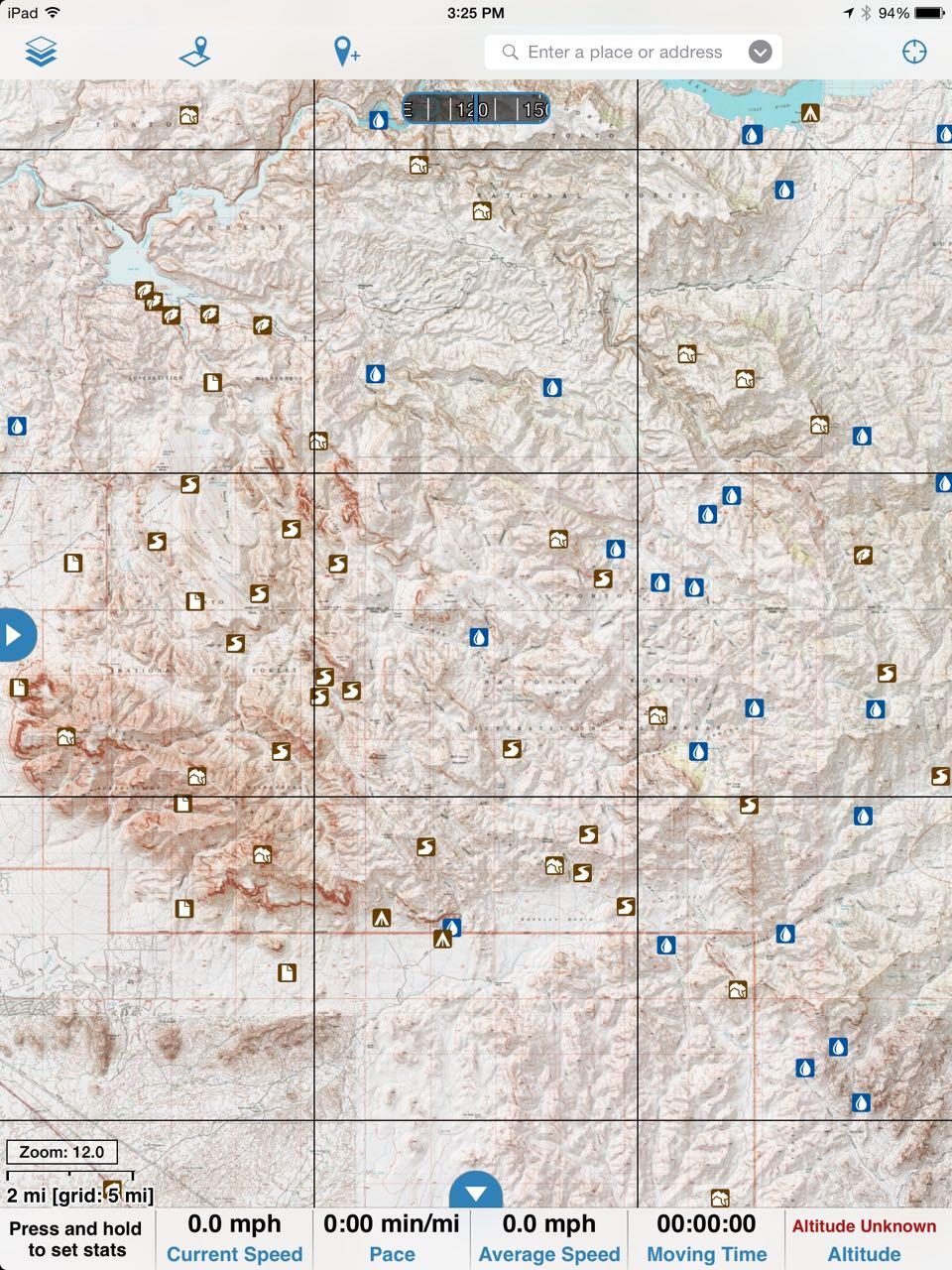
Some more examples at different zoom levels.
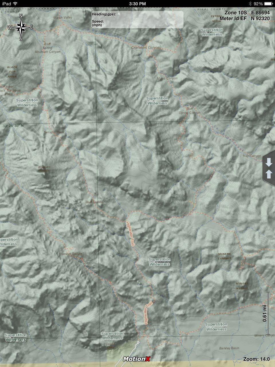
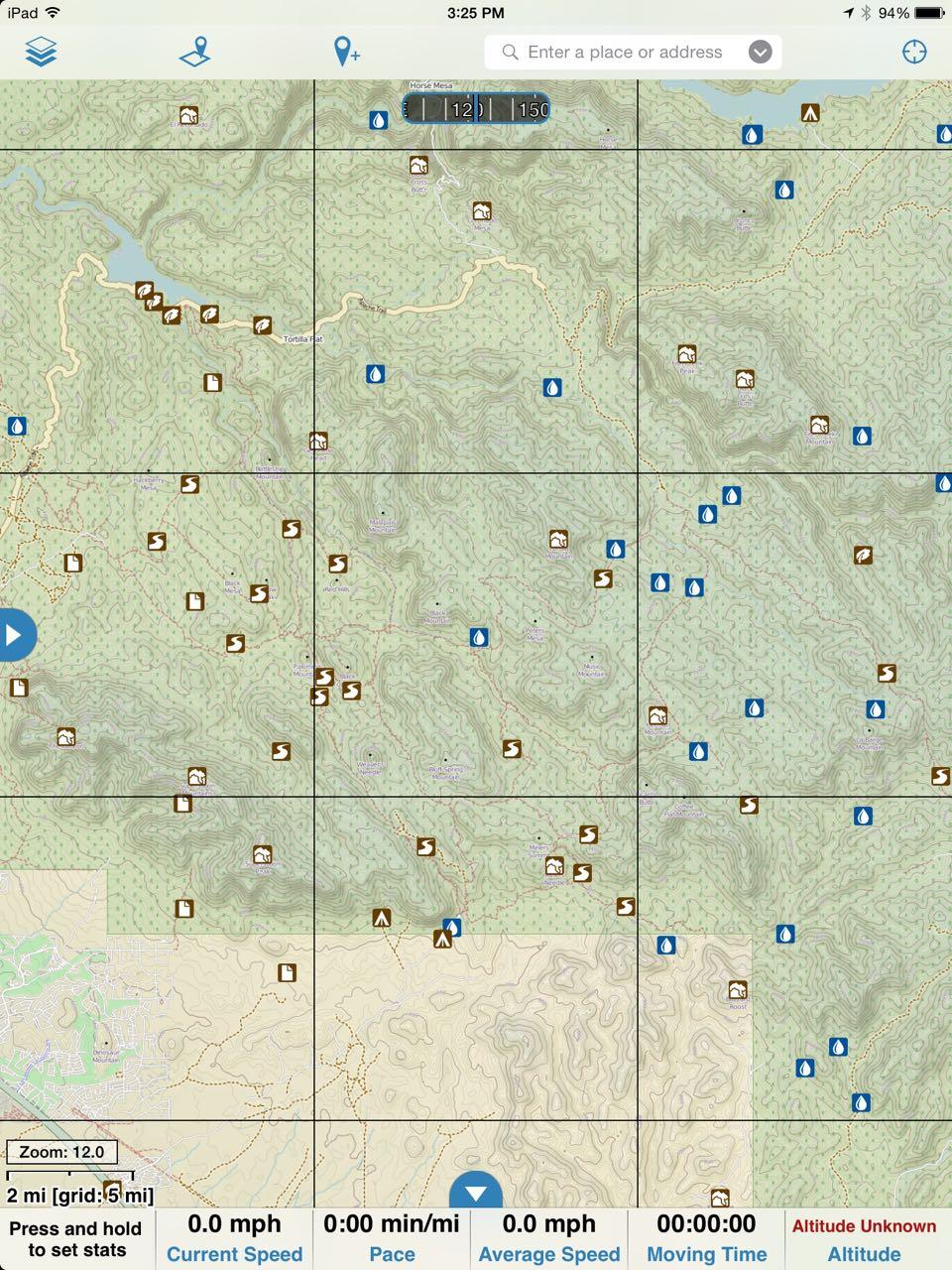
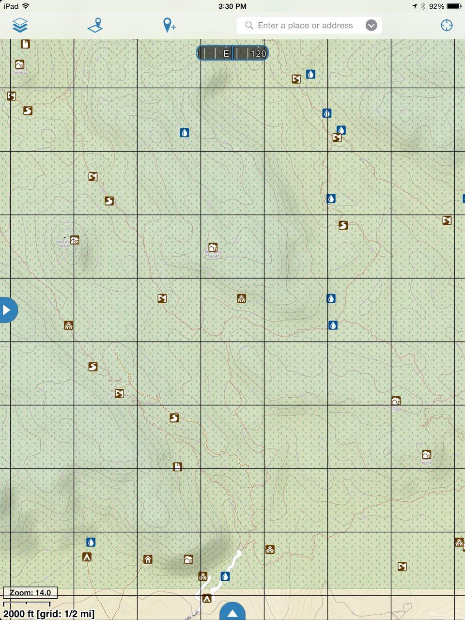
Here's an example situation that happens regularly around here: you are hiking in the superstition wilderness at night in July because you are looking for a goldmine. You run out of water about 9:00 am the next morning and it's already 95 and getting hotter by the second. There are no other hikers (because nobody else would be out there without water) and the other miners you might see will hide from you or shoot you (ok ... I'm might be exaggerating a little, but it has happened) but will not share their water with you. You need to find the fastest route to get to a road. Which map do you want?
1b & 1c = US Topo + shading
2b & 2c = Accuterra
3b & 3c = Cycling too
Similar scenario: there are several springs and water sources in the superstitions if you have them on your map - if you find one you can stay out there another day and find the Peralta mine for sure! Which map would you want?
Correct answer: imaging 2b and 2c with the water icons just like the ones on maps 1 and 3 ... to me, that would be an ideal map.
So - overall I like the Accuterra maps mostly for plotting new routes and changing route plans. If I have a route already in mind, the others work better. Having the Gaia overlays on any map adds a lot of data to the planning process.
mjb
Jul 24, 2015, 12:59:47 AM7/24/15
to Gaia GPS, m...@mjb.us
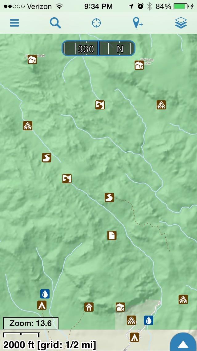
One more example ... here is what Accuterra looks like in Gaia using a TileJSON import (access is via a subscription I bought in another app). This is my second try with TileJSON - it was working before then it stopped loading this map. So I deleted and re-added so we can see what it looks like in Gaia.
On Thursday, July 23, 2015 at 11:48:19 AM UTC-7, mjb wrote:

Morrie
Jul 24, 2015, 6:46:05 AM7/24/15
to Gaia GPS, m...@mjb.us
The Accuterra would just not work where I use Gaia most: in the desert in bright sun. I need high contrast, not dense shading, to even see the map on my screen. Also the shading is so dense, it's hard to make out the contours, which are far more important to me than the shading. It may be prettier, but it's far less useful. From what I've seen USGS Topo wins, despite being often very outdated with regard to where the trails are.
All that said, the ability to see where you are when zoomed out is really important.
All that said, the ability to see where you are when zoomed out is really important.
mjb
Jul 28, 2015, 4:35:58 PM7/28/15
to Gaia GPS, and...@gaiagps.com
I saw the Blog post about having a preference to open source maps and I fully support that direction. Putting in the time to improve the open maps is a much higher goal than adding a map source. Yet another reason to support Gaia.
thanks!
On Thursday, July 23, 2015 at 11:55:26 AM UTC-7, Andrew Johnson wrote:
Reply all
Reply to author
Forward
0 new messages