
ana...@gmail.com
Mar 26, 2020, 1:20:54 PM3/26/20
to cesium-dev
1. A concise explanation of the problem you're experiencing.
Hi,
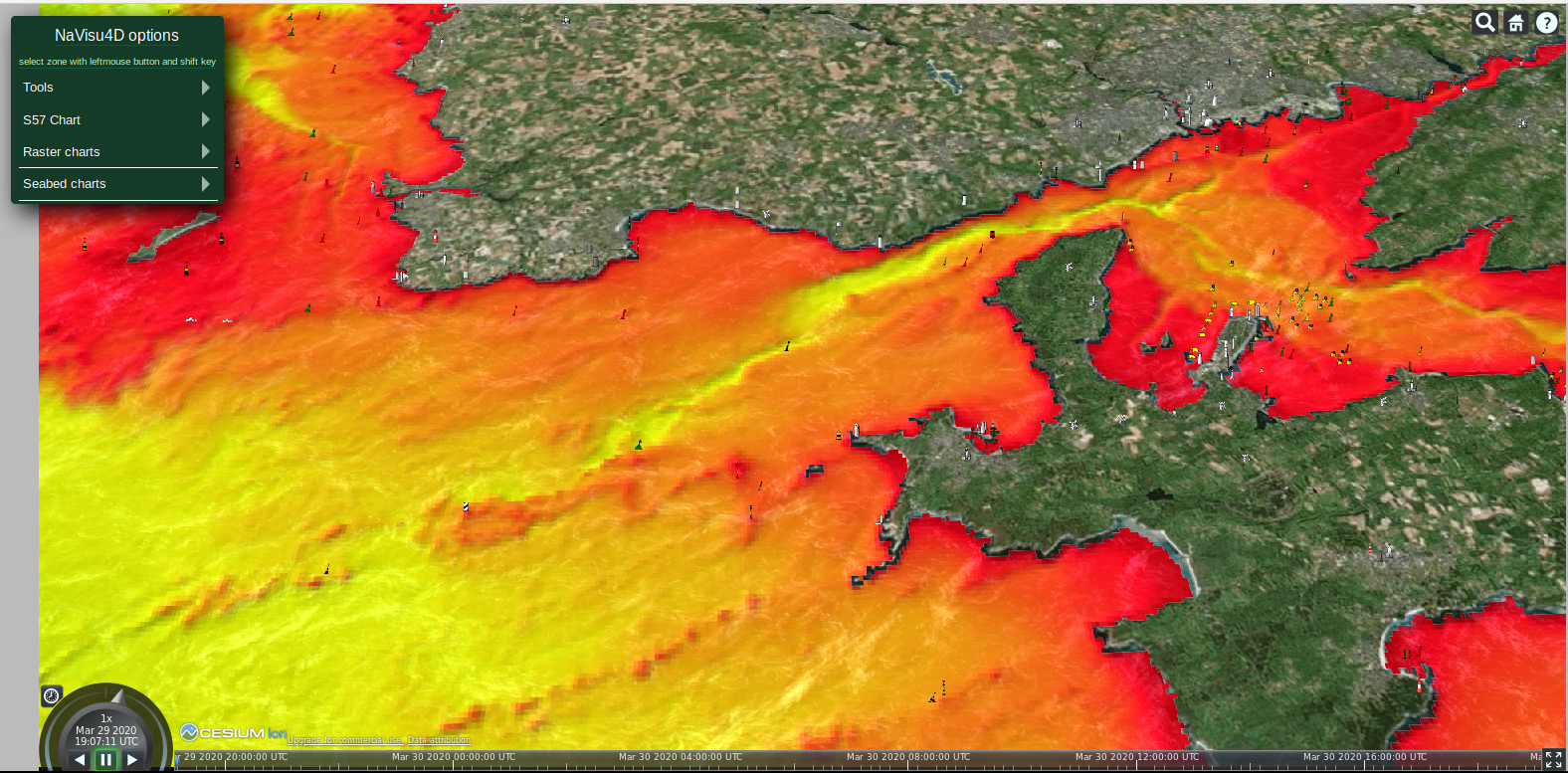
I downloaded an area from the EMODnet website (https://portal.emodnet-bathymetry.eu/#) with bathymetry data in .tiff and uploaded it to Cesium ION without errors. But when importing the asset in the code the terrain does not appear and I have no error or warning, even though i can see the globe and other 3D objects I'm rendering.
Before that I tried this tutorial (https://bertt.wordpress.com/2018/11/26/visualizing-terrains-with-cesium-ii/), which converted the .tiff zone to TileJson however I can't upload it (error: json is not a valid format) or access via a local server.
2. A minimal code example. If you've found a bug, this helps us reproduce and repair it.
var viewer = new Cesium.Viewer('cesiumContainer',{
    terrainProvider : new Cesium.CesiumTerrainProvider({
        url: Cesium.IonResource.fromAssetId(85779)
    })
});
3. Context. Why do you need to do this? We might know a better way to accomplish your goal.
I need to render bathymetry data. Is this the best way to do it ?
4. The Cesium version you're using, your operating system and browser.
Cesium: 1.62
Ubuntu 16.04
Chromium 80.0.3987.87

sergem...@gmail.com
Mar 29, 2020, 3:55:00 AM3/29/20
to cesium-dev
You can also use Geoserver and then Cesium.WebMapServiceImageryProvider
sergem...@gmail.com
Mar 29, 2020, 3:17:47 PM3/29/20
to cesium-dev
Reply all
Reply to author
Forward
0 new messages