How to build a celestial navigator?
117 views
Skip to first unread message

Lin
Aug 23, 2018, 8:42:09 PM8/23/18
to astrometry
Any resources? Recommendations?
Found this forum through here: https://github.com/astropy/astropy/issues/6702
By celestial navigator I mean the image processing variety they put on satellites, not the sextant sort (or unless they are the same thing?)

Dustin Lang
Aug 24, 2018, 8:19:10 AM8/24/18
to astrometry
Given an image of the sky, astrometry.net tells you where on the sky your camera was pointed... what else do you know (time, alt, az?), and what else do you want to know (lat, long?)?
For code, I like the pyephem python package for working out these things. I'm sure there is more complete software, but I don't know.
cheers,
--dustin
Lin
Aug 27, 2018, 1:14:49 AM8/27/18
to astrometry
I have time. So what would it take to project the location of the sky unto earth? E.g. if I take my iPhone (the one with two cameras), point it at the sky run it through my app can it give me my location on Earth without view of horizon? The sextant method requires horizon but if I don't have horizon, what should I do?
Dustin Lang
Aug 27, 2018, 7:34:36 AM8/27/18
to astrometry
You would also need the altitude (zenith distance).
Lin
Aug 28, 2018, 12:46:29 AM8/28/18
to astrometry
Why do we need altitude though? Isn't 4 stars enough to resolve all 3 coordinates?
Dustin Lang
Aug 28, 2018, 8:28:03 AM8/28/18
to astrometry
No. The stars are essentially on a sphere at infinity, so you only get a 2-D pointing (RA,Dec). 3 stars would be enough to solve that, but there are so many stars that a 3-star pattern is not distinctive enough; we use 4 stars to make a more distinctive feature. You can think of a 4-star feature as 2 3-star features that share two of the stars.
From an image of the sky, for navigational purposes I think you only get effectively one (RA,Dec) coordinate; call it the center pointing of your camera. I have never worked out the math of celestial navigation, but I think in short that Dec coordinate, plus/minus the zenith distance (= 1 - altitude = angle down from straight up) gives you your latitude. If the camera is along the meridian line, then RA gives you the Local Sidereal Time, and with that and the UTC time/date you can work out the longitude.
cheers,
--dustin
Lin
Aug 29, 2018, 4:11:34 AM8/29/18
to astrometry
This one claims to have "attitude information"?
Dustin Lang
Aug 29, 2018, 7:35:57 AM8/29/18
to astrometry
If you're a spacecraft and your camera is bolted to your chassis, then you know its orientation relative to the spacecraft, and knowing RA,Dec is enough to tell you which direction the spacecraft is pointing.
If you're a human holding a camera trying to figure out where you are on the surface of the Earth, you need to know the angles of the camera relative to "up". If you point the camera straight up, those angles are easy; otherwise the zenith distance and hour angle offset where you would compute your position on Earth to be.
If you're at the equator and you point your camera at the south pole, that is the same image you're going to get if you're at the south pole and you point your camera straight up.
--dstn

walde...@gmail.com
Aug 31, 2018, 8:41:17 AM8/31/18
to astrometry
Look into lunar distances. While usually used to get time, the distance from the moon to two appropriately placed objects can give lat and long if you have time. (If you have 3 very accurate lunar distances, you can get time, lat, and long using parallax in azimuth via earth oblateness.) A useful resource might be NAVLIST. Such issues are often discussed. http://fer3.com/arc/
Lin
Sep 1, 2018, 1:21:07 AM9/1/18
to astrometry
Won't the image be shifted by exactly the earth's radius for south pole pix vs equator pix? Another question, how does astronometry deal with Ephemeris stuff? I couldn't find too many documentation on it but since positions of stars change relative to earth's over time etc. how do you guys stay up to date? I know for old school celestial navigation they use nautical charts, almanacs, ephemeris etc. published yearly by governments but how do you guys do it? Won't the starmap database need to be updated every other day?
Dustin Lang
Sep 1, 2018, 7:15:17 AM9/1/18
to astrometry
Compared to the size of the Earth, the stars are almost infinitely far away, so an image taken from the equator pointed toward the southern horizon, and an image taken at the south pole pointing straight up will look almost identical. There is a tiny parallax effect, but even at the size of the Earth's orbit (in images taken 6 months apart) it is small (<arcsecond) for all but the nearest stars.
You can try it yourself by taking images every hour during the night, but pointing your camera at the same stars. I predict the biggest difference you'll see is atmospheric dispersion -- blue light especially gets bent by the atmosphere.
Similarly, stars' proper motions are very tiny for all but the fastest moving stars. We get away with reporting J2000 positions no problem.
cheers,
--dustin
walde...@gmail.com
Sep 1, 2018, 7:20:24 AM9/1/18
to astrometry
The moon's topocentric position changes with observer position due to parallax. Will be different for observer at pole from equator. Stars positions change due to refraction. So, earth-moon distance varies with position and well as time.
Lin
Sep 1, 2018, 1:06:43 PM9/1/18
to astrometry
Does astrometry.net account for these changes?
Lin
Sep 1, 2018, 1:07:13 PM9/1/18
to astrometry
Then why do people still use almanacs that gets updated yearly?
Dustin Lang
Sep 1, 2018, 1:14:51 PM9/1/18
to astrometry
I guess they're useful for the moon and planets. For stars, the proper motions of the stars are tiny.
walde...@gmail.com
Sep 2, 2018, 9:55:46 AM9/2/18
to astrometry
Annual aberration is observable with marine sextants for number of stars thus needs to be tabulated at regular intervals in the Nautical Almanac.
Lin
Sep 2, 2018, 8:41:48 PM9/2/18
to astrometry
Here's my own math, I still couldn't quite work out what I need time for though..I am using the phone's gyro/accelerometer (assuming perfectly calibrated spherical cow conditions etc.) to determine the attitude euler angles...from there the location can be derived from RA and DEC, unless my math is wrong? Since Astronometry's data structures are invariant to transformation, a picture taken from the angle should give the same results as a picture taken at zenith (this is the assumption I am basing my calculations off).
Lin
Sep 2, 2018, 8:44:09 PM9/2/18
to astrometry
Of course the user's phone won't be perfectly aligned so the correct euler angle offsets are calculated by finding the true north using the internal compass and figuring out what are the euler angles w.r.t. latitude and longitude
Lin
Sep 2, 2018, 9:34:08 PM9/2/18
to astro...@googlegroups.com
Nevermind ignore my amateur question about time, I did not have a good understanding of "Right Ascension". Thought that since it had a decimal form, it's exactly like longitude. My bad. Should have accounted for the time domain.
Dustin Lang
Sep 3, 2018, 7:15:14 AM9/3/18
to astrometry
You should check that the smartphone you are planning to use can actually take a picture of the night sky that contains stars. Last time I checked, the iPhone did not work; it will not expose long enough to capture any stars. You'll need 10-20 stars to reliably get results from astrometry.net .
cheers,
--dustin
Lin
Sep 3, 2018, 3:50:15 PM9/3/18
to astrometry
It can take. Most phones nowadays can with the right app. The only issue is that to get any decent quality astrophoto requires ~1min of exposure. Worse if you are moving e.g. on a car then you will need to take many rapid photos and combine them through stack alignment which takes a humongous amount of ram. My guess is that with a photomultiplier, practical celestial navigation as a replacement for GPS on mobile devices can become reality.
walde...@gmail.com
Sep 4, 2018, 7:54:12 AM9/4/18
to astrometry
google "star tracker" for such devices used on space craft. USN has been working on a marine application of the technology.
Lin
Sep 5, 2018, 8:41:39 PM9/5/18
to astro...@googlegroups.com
Dustin, thanks for the tip regarding pyephem, really useful. Currently using its successor skyfield.
My math is still a bit off, trying to figure out how much to wind time forward in order to compensate for aberrations etc.
^not quite working code for anyone's who's interested.
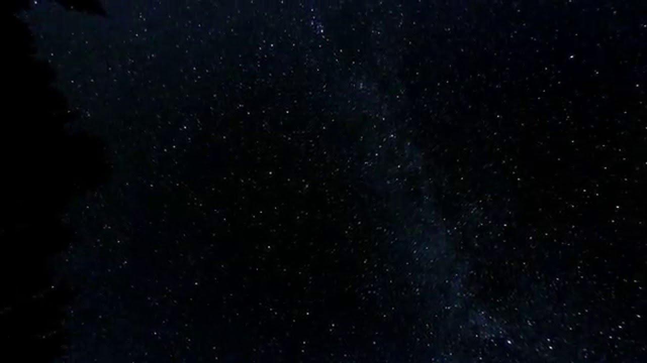
See attached for the source image the coordinates are created from. (Summer ~2015? Ontario, obtained from youtube)
Dustin Lang
Sep 5, 2018, 10:11:15 PM9/5/18
to astrometry
Astrometry.net reports almost all RA,Decs in decimal degrees -- not hours as your code suggests.
Reply all
Reply to author
Forward
0 new messages