Lambert Conic Conformal to UTM Problems
151 views
Skip to first unread message

sdfarmd...@gmail.com
Mar 25, 2022, 3:35:01 AM3/25/22
to LAStools - efficient tools for LiDAR processing
I am working with some Lidar from Oregon, USA that is in Lambert Conic Confromic projection and I need to convert it to UTM 10 to use in my mapping software.
Here is what I have found for projection information and I cannot seem to get it right.
<spref>
<horizsys>
<planar>
<mapproj>
<mapprojn>Lambert Conformal Conic</mapprojn>
<lambertc>
<stdparll>43.0</stdparll>
<stdparll>45.5</stdparll>
<longcm>-120.5</longcm>
<latprjo>41.75</latprjo>
<feast>1312335.958005249</feast>
<fnorth>0.0</fnorth>
</lambertc>
</mapproj>
<planci>
<plance>coordinate pair</plance>
<coordrep>
<absres>0.001</absres>
<ordres>0.001</ordres>
</coordrep>
<plandu>Unknown</plandu>
</planci>
</planar>
<geodetic>
<horizdn>GCS North American 1983 HARN</horizdn>
<ellips>GRS 1980</ellips>
<semiaxis>6378137.0</semiaxis>
<denflat>298.257222101</denflat>
</geodetic>
</horizsys>
<vertdef>
<altsys>
<altdatum>North American Vertical Datum of 1988</altdatum>
<altres>0.001</altres>
<altunits>foot</altunits>
<altenc>Attribute values</altenc>
</altsys>
</vertdef>
</spref>
Here is what I have tried as well as many others.
las2las -cpu64 -lof file_list.7360.txt -target_utm 10N -odir "E:\Dropbox (Team GK Tech)\GKData_GKMain\GKData-Paul\GK Direct Paul Fuller\Garth Mulkey\Benton\RF 30\Lidar\OR_Coast_Central_OLC_2011\Lam Con to UTM10" -olaz -nad83 -lcc 1312336 0 feet 41.75 120.5 43 45.5 -elevation_feet -vertical_navd88
Link to data attached as well.
Any help would be appreciated
Paul

Dave Stoll
Mar 26, 2022, 4:09:49 AM3/26/22
to LAStools - efficient tools for LiDAR processing
Hi Paul,
Your point cloud starts off EPSG:2992 NAD83/Oregon GIC Lambert(ft) and you want to Transform it to EPSG:26910 NAD83/UTM zone 10N(Meters)? Or do you want the WGS84 version of UTM 10N?
Is your data publicly available? What is the mapping software you'll be using the transformed point cloud in?
Dave
Your point cloud starts off EPSG:2992 NAD83/Oregon GIC Lambert(ft) and you want to Transform it to EPSG:26910 NAD83/UTM zone 10N(Meters)? Or do you want the WGS84 version of UTM 10N?
Is your data publicly available? What is the mapping software you'll be using the transformed point cloud in?
Dave
sdfarmd...@gmail.com
Mar 27, 2022, 4:07:06 AM3/27/22
to LAStools - efficient tools for LiDAR processing
Thanks for the reply. I am pretty much a novice at this, so I know only partially what I need. I am a drainage specialist that is learning as i go as far as using these tools. I believe I need NAD83/UTM 10 N. I have reprojected quite a bit from State Plane to UTM and just select the correct State Plane from the group on the left and select UTM X on the right. It sure is nice with V1.4 data that has the projections already in there so I can just select the output projection. I was thinking that a lot of V1.2 did as well, just not for this project.
The data was downloaded from The National Map and is publicly available. I use GK Technology Inc. Ag Data Mapping Solution for reading Lidar and creating watershed modeling and drainage plans for tile and surface drainage. I have also had probelms reprojecting Lidar from Wisconsin as it is in a similar projection, but many of those counties use local projections.
Dave Stoll
Mar 28, 2022, 3:02:36 AM3/28/22
to LAStools - efficient tools for LiDAR processing
Paul,
I had not transformed a cloud with LAStools before, so I was most eager to try this out. Las2Las transform settings are kludgy and awkward, but here's what I used:
las2las -cpu64 -i "D:\Download\OR_Coast_Central_OLC_2011-2012_002437.laz" -target_utm 10N -target_precision 0.01 -odir "D:\Download" -o "LLC_to_UTM.laz" -nad83 -lcc 1312336 0 feet 41.75 -120.5 43 45.5 -elevation_feet -vertical_navd88_geoid12b
And here's what I got:
ProjectedCSTypeGeoKey: NAD83 / UTM 10N
key 3076 tiff_tag_location 0 count 1 value_offset 9001 - ProjLinearUnitsGeoKey: Linear_Meter
key 4099 tiff_tag_location 0 count 1 value_offset 9001 - VerticalUnitsGeoKey: Linear_Meter
key 4096 tiff_tag_location 0 count 1 value_offset 5103 - VerticalCSTypeGeoKey: VertCS_North_American_Vertical_Datum_1988
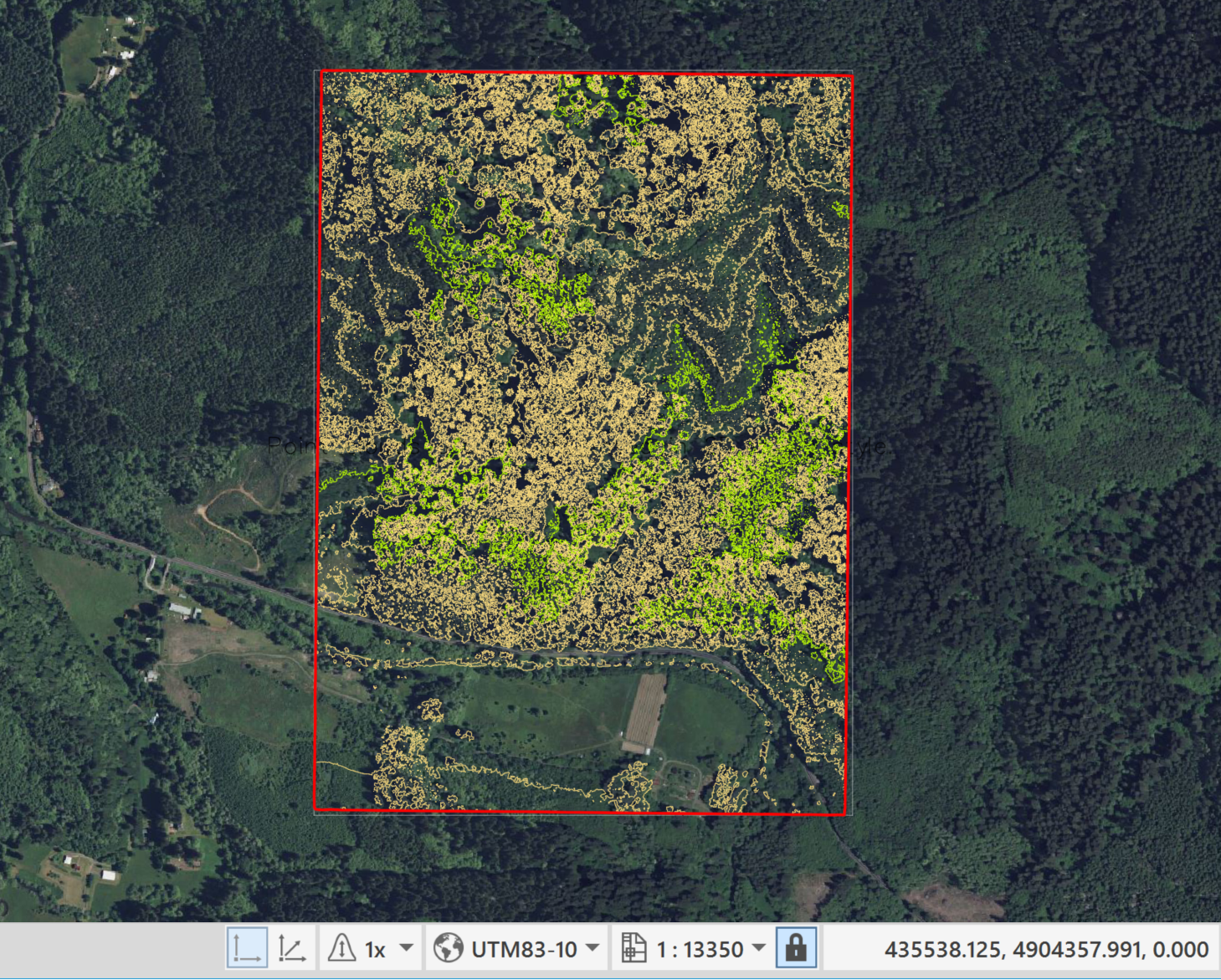
Now to check. I opened up the transformed LAZ in Autodesk ReCap, and ReCap recognized the projection as UTM83-10. I opened a new drawing in Civil 3D, assigned a UTM83-10 coordinate system, created a surface, and when I turned on Bing Live Maps things looked good.
Dave
I had not transformed a cloud with LAStools before, so I was most eager to try this out. Las2Las transform settings are kludgy and awkward, but here's what I used:
las2las -cpu64 -i "D:\Download\OR_Coast_Central_OLC_2011-2012_002437.laz" -target_utm 10N -target_precision 0.01 -odir "D:\Download" -o "LLC_to_UTM.laz" -nad83 -lcc 1312336 0 feet 41.75 -120.5 43 45.5 -elevation_feet -vertical_navd88_geoid12b
And here's what I got:
ProjectedCSTypeGeoKey: NAD83 / UTM 10N
key 3076 tiff_tag_location 0 count 1 value_offset 9001 - ProjLinearUnitsGeoKey: Linear_Meter
key 4099 tiff_tag_location 0 count 1 value_offset 9001 - VerticalUnitsGeoKey: Linear_Meter
key 4096 tiff_tag_location 0 count 1 value_offset 5103 - VerticalCSTypeGeoKey: VertCS_North_American_Vertical_Datum_1988
Now to check. I opened up the transformed LAZ in Autodesk ReCap, and ReCap recognized the projection as UTM83-10. I opened a new drawing in Civil 3D, assigned a UTM83-10 coordinate system, created a surface, and when I turned on Bing Live Maps things looked good.
Dave
sdfarmd...@gmail.com
Mar 29, 2022, 12:50:41 PM3/29/22
to LAStools - efficient tools for LiDAR processing
Thank you very much. That worked. I am not sure what I was doing wrong.
Reply all
Reply to author
Forward
0 new messages