MapsGL shows untextured 3D block buildings in Google Maps
304 views
Skip to first unread message

Paul06
Jul 13, 2012, 6:24:13 PM7/13/12
to 3d...@googlegroups.com
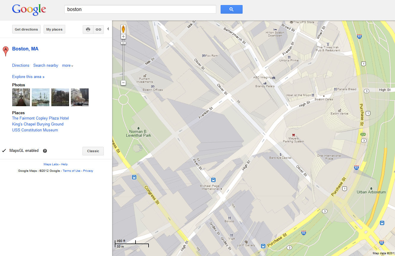
I just saw a link to MapsGL today in Google Maps.
When activated, this option shows 3D buildings as untextured blocks in the "Map" view. The buildings are only viewed from the top, but are still in 3D when you change position on the map.
Too bad the building are so simple blocks, and the view cannot be tilted. This changes a lot compared to GE 3D buildings visualization.

In "satellite" mode, you view the 45° imagery

CraigD - Google
Jul 16, 2012, 3:30:46 PM7/16/12
to 3d...@googlegroups.com
Yes, often times we'll use 3D buildings from Google Earth 3D Buildings layer in the Maps GL 3D buildings. It's pretty cool, isn't it? :)
- CraigD
Reply all
Reply to author
Forward
0 new messages