Maxent Predicitve Surface with Gaps (Missing data)

KZ
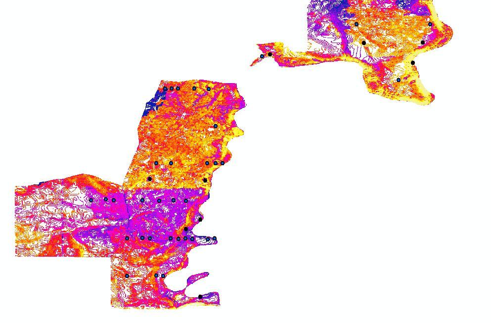
I am using Maxent for the first time for some predictive species modelling. I find the software appears to be running fine, however, the predictive surface .asc has gaps or areas missing data in it. All my environmental variables have the same extent, cell size, and grid, so there should be no areas missing data as far as I know. The attached image shows some of the areas missing data in white along with my presence points. Any suggestions why this might be occurring?
Thanks in advance.
KZ
KZ

Florencia Sangermano
Hi KZ,
The image you sent looks as if one of your variables is not continuous over space and it is represented with contour lines… maybe that is the problem? I would check that all your input variables have data values for all pixels. If you are working with a contour map you can interpolate pixel values based on the contours to create a continuous surface.
Flor
--
You received this message because you are subscribed to the Google Groups "Maxent" group.
To unsubscribe from this group and stop receiving emails from it, send an email to
maxent+un...@googlegroups.com.
To post to this group, send email to max...@googlegroups.com.
Visit this group at http://groups.google.com/group/maxent.
For more options, visit https://groups.google.com/d/optout.
KZ
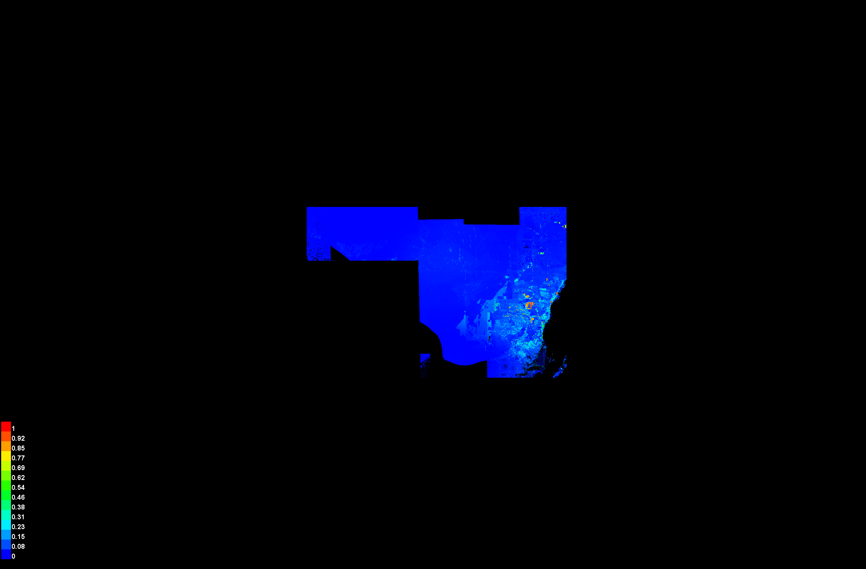
Thanks for the message. There was an issue with my slope variable where some of the pixel values in slope raster had been removed during one of the steps for converting to .asc. I hadn't noticed the gaps before due to the grey-black color ramp I was using in ArcGIS to view the rasters made it look like the layer was continuous when it actually was missing data. Not sure how this happened but good catch on your part. Thanks again for your help.
cheers,
Karl
