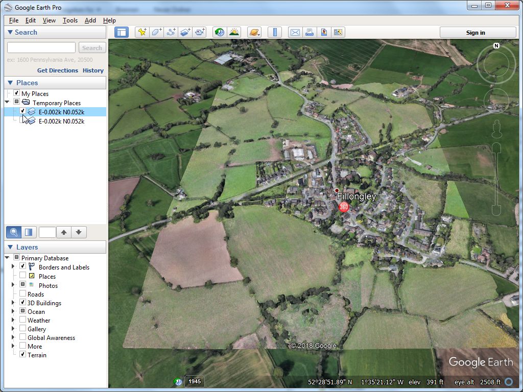
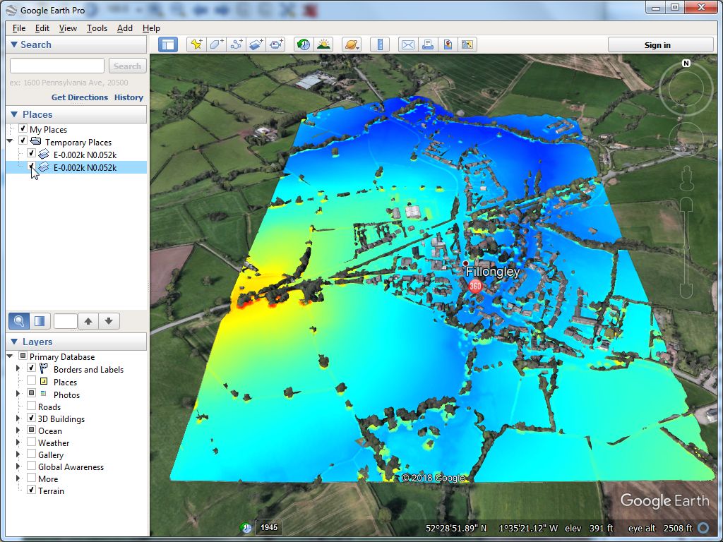
Incorrect geo information for EPSG:27700

Nicholas Pilkington

Martin Isenburg
--
Download LAStools at
http://lastools.org
http://rapidlasso.com
Be social with LAStools at
http://facebook.com/LAStools
http://twitter.com/LAStools
http://linkedin.com/groups/LAStools-4408378
Manage your settings at
http://groups.google.com/group/lastools/subscribe
Nicholas Pilkington
lasinfo (171030) report for points.las
reporting all LAS header entries:
file signature: 'LASF'
file source ID: 1
global_encoding: 0
project ID GUID data 1-4: 00000000-0000-0000-0000-000000000000
version major.minor: 1.2
system identifier: 'DroneDeploy'
generating software: 'DroneDeploy'
file creation day/year: 265/2018
header size: 227
offset to point data: 540
number var. length records: 3
point data format: 2
point data record length: 26
number of point records: 50454236
number of points by return: 50454236 0 0 0 0
scale factor x y z: 0.0000001 0.00000001 0.001
offset x y z: -1.6 52.469999999999999 100
min x y z: -1.5943232 52.47809889 124.816
max x y z: -1.5836609 52.48798706 213.268
WARNING: full resolution of min_y not compatible with y_offset and y_scale_factor: 52.478098889999998
WARNING: full resolution of max_y not compatible with y_offset and y_scale_factor: 52.487987060000002
variable length header record 1 of 3:
reserved 0
user ID 'LASF_Projection'
record ID 34735
length after header 112
description ''
GeoKeyDirectoryTag version 1.1.0 number of keys 13
key 1024 tiff_tag_location 0 count 1 value_offset 2 - GTModelTypeGeoKey: ModelTypeGeographic
key 1025 tiff_tag_location 0 count 1 value_offset 1 - GTRasterTypeGeoKey: RasterPixelIsArea
key 2048 tiff_tag_location 0 count 1 value_offset 4326 - GeographicTypeGeoKey: GCS_WGS_84
key 2049 tiff_tag_location 34737 count 7 value_offset 0 - GeogCitationGeoKey: WGS 84
key 2050 tiff_tag_location 0 count 1 value_offset 6326 - GeogGeodeticDatumGeoKey: Datum_WGS84
key 2051 tiff_tag_location 0 count 1 value_offset 8901 - GeogPrimeMeridianGeoKey: PM_Greenwich
key 2054 tiff_tag_location 0 count 1 value_offset 9102 - GeogAngularUnitsGeoKey: Angular_Degree
key 2055 tiff_tag_location 34736 count 1 value_offset 0 - GeogAngularUnitSizeGeoKey: 0.01745329252
key 2056 tiff_tag_location 0 count 1 value_offset 7030 - GeogEllipsoidGeoKey: Ellipse_WGS_84
key 2057 tiff_tag_location 34736 count 1 value_offset 1 - GeogSemiMajorAxisGeoKey: 6378137
key 2059 tiff_tag_location 34736 count 1 value_offset 2 - GeogInvFlatteningGeoKey: 298.2572236
key 2061 tiff_tag_location 34736 count 1 value_offset 3 - GeogPrimeMeridianLongGeoKey: 0
key 4099 tiff_tag_location 0 count 1 value_offset 9001 - VerticalUnitsGeoKey: Linear_Meter
variable length header record 2 of 3:
reserved 0
user ID 'LASF_Projection'
record ID 34736
length after header 32
description ''
GeoDoubleParamsTag (number of doubles 4)
0.0174533 6.37814e+006 298.257 0
variable length header record 3 of 3:
reserved 0
user ID 'LASF_Projection'
record ID 34737
length after header 7
description ''
GeoAsciiParamsTag (number of characters 7)
WGS 84|
reporting minimum and maximum for all LAS point record entries ...
X 56768 163391
Y 809889 1798706
Z 24816 113268
intensity 1542 65535
return_number 1 1
number_of_returns 1 1
edge_of_flight_line 0 0
scan_direction_flag 1 1
classification 0 0
scan_angle_rank 0 0
user_data 0 0
point_source_ID 1 1
Color R 0 65535
G 0 65535
B 0 65535
number of first returns: 50454236
number of intermediate returns: 0
number of last returns: 50454236
number of single returns: 50454236
overview over number of returns of given pulse: 50454236 0 0 0 0 0 0
histogram of classification of points:
50454236 never classified (0)
wine las2las.exe -i points.las -o tmp.laz -epsg 4326 -target_epsg 27700 -target_meter -target_elevation_meter
lasinfo (171030) report for tmp.laz
reporting all LAS header entries:
file signature: 'LASF'
file source ID: 1
global_encoding: 0
project ID GUID data 1-4: 00000000-0000-0000-0000-000000000000
version major.minor: 1.2
system identifier: 'LAStools (c) by rapidlasso GmbH'
generating software: 'las2las (version 171030)'
file creation day/year: 265/2018
header size: 227
offset to point data: 321
number var. length records: 1
point data format: 2
point data record length: 26
number of point records: 50454236
number of points by return: 50454236 0 0 0 0
scale factor x y z: 0.01 0.01 0.01
offset x y z: 400000 200000 0
min x y z: 427546.92 286806.27 124.82
max x y z: 428270.59 287905.59 213.27
variable length header record 1 of 1:
reserved 0
user ID 'LASF_Projection'
record ID 34735
length after header 40
description 'by LAStools of rapidlasso GmbH'
GeoKeyDirectoryTag version 1.1.0 number of keys 4
key 1024 tiff_tag_location 0 count 1 value_offset 1 - GTModelTypeGeoKey: ModelTypeProjected
key 3072 tiff_tag_location 0 count 1 value_offset 27700 - ProjectedCSTypeGeoKey: OSGB 1936 / British National Grid
key 3076 tiff_tag_location 0 count 1 value_offset 9001 - ProjLinearUnitsGeoKey: Linear_Meter
key 4099 tiff_tag_location 0 count 1 value_offset 9001 - VerticalUnitsGeoKey: Linear_Meter
LASzip compression (version 3.1r0 c2 50000): POINT10 2 RGB12 2
reporting minimum and maximum for all LAS point record entries ...
X 2754692 2827059
Y 8680627 8790559
Z 12482 21327
intensity 1542 65535
return_number 1 1
number_of_returns 1 1
edge_of_flight_line 0 0
scan_direction_flag 1 1
classification 0 0
scan_angle_rank 0 0
user_data 0 0
point_source_ID 1 1
Color R 0 65535
G 0 65535
B 0 65535
number of first returns: 50454236
number of intermediate returns: 0
number of last returns: 50454236
number of single returns: 50454236
overview over number of returns of given pulse: 50454236 0 0 0 0 0 0
histogram of classification of points:
50454236 never classified (0)
Martin Isenburg
https://groups.google.com/d/msg/lastools/j_xCv9YtxO4/evB8H-fiCQAJ