ground detection and noise removal

Seweryn Cieslik
Hi all
I have had a look through the forum but I still have a few questions J
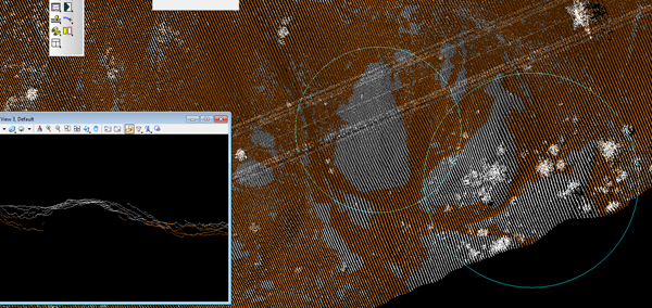
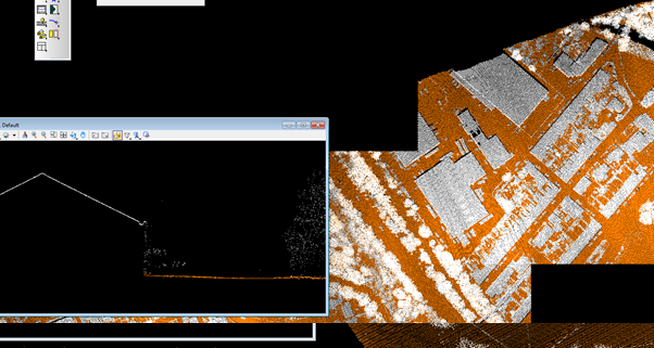
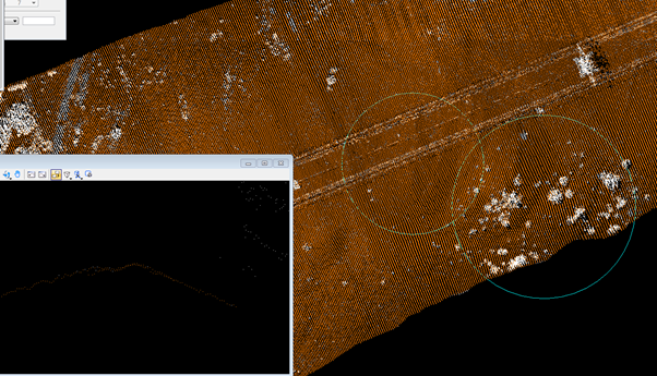
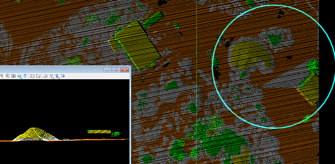
1. First of all how would you go about detecting ground in areas of mixed terrain. I understand that presets are designed to deal with certain types of terrain but how would you go about an area let say on the boundaries of a big city (flat) with warehouses, supermakets and a hilly park or cliffs across the road. (images 1a\1b, 2a\2b)
I have been experimenting with different values and so far I cannot get a good compromise. So at the moment my workflow is as follows: detect ground with a large step (like metro), classify buildings (a bit hit and miss at the moment), then detecting ground again with the class 6 (buildings) locked.
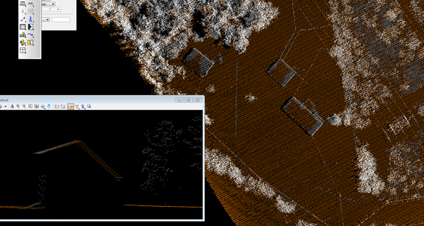
I wonder if anyone worked that way before. The issue is that when using, for example, the metro setting it finds the ground accurately around the big buildings but will fail to find the ground along parts of the slope on hills. Using a smaller step value will find the ground fine but will start classing buildings as ground (image 3).
2. Is there a way in lasnoise to efficiently remove spurious points from below the ground? The ideal way would be to create a TIN and then tell the tool to look for any spikes that are n stops down (or up) from the standard deviation.
I hope my questions are making sense and I look forward hearing from you.
I have attached some images for clarification.
Seweryn Cieslik

Martin Isenburg
--
Download LAStools at
http://lastools.org
http://rapidlasso.com
Be social with LAStools at
http://facebook.com/LAStools
http://twitter.com/LAStools
http://linkedin.com/groups/LAStools-4408378
Manage your settings at
http://groups.google.com/group/lastools/subscribe