How to interpolate and keep Z information (elevation)?
瀏覽次數:29 次
跳到第一則未讀訊息

danilo.avancini
2016年9月20日 上午9:08:112016/9/20
收件者:LAStools - efficient tools for LiDAR processing
Hello everyone,
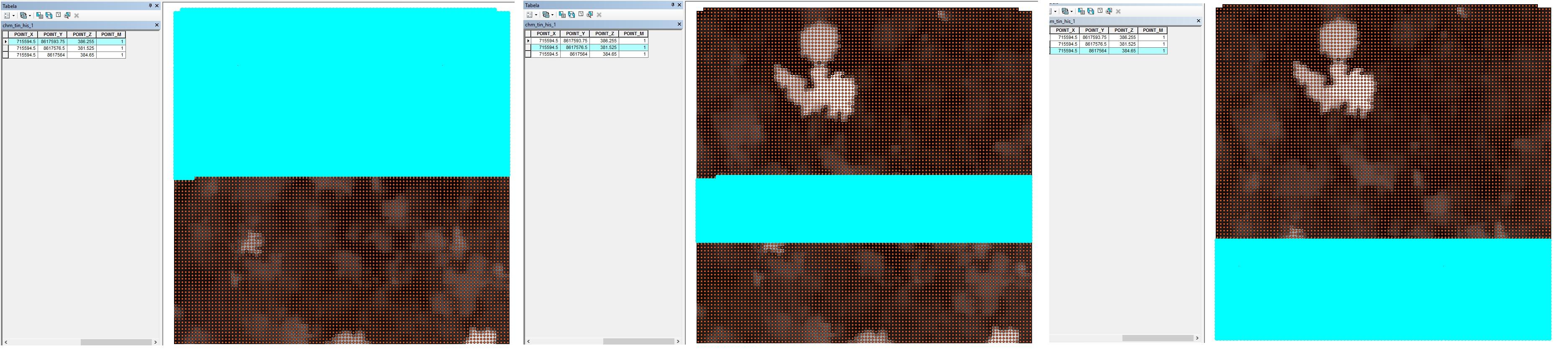
I have a .las file with nothing but the highest returns, and now I want to interpolate those points into a 0.5m grid to finally have my CHM. Using las2dem from LAStools the generated file sort of classifies the points into 3 groups and gives all of them the same Z value (height) (you can see this at the attached picture). The problem here is that I need the interpolated raster to display every Z information, from each point representing a pixel of my 0.5m grid, how can I get that?? Hope I've made myself clear.
Thank you in advance.
Danilo

Martin Isenburg
2016年9月20日 下午2:54:102016/9/20
收件者:LAStools - efficient command line tools for LIDAR processing
Hello Danilo,
unfortunately I have no clue what you are doing and what the problem is from the way you describe it. Could you
* send a lasinfo report for the input LAS / LAZ file (text, no screen shot)
* detail the exact las2dem command line you are using (text, no screen shot)
* run las2dem with the '-v' option for more verbose console output
* copy and paste the entire console output (text, no screen shot)
* and ideally ... include a Web-link to the LAZ file that gives you trouble
Regards,
Martin @rapidlasso
--
Download LAStools at
http://lastools.org
http://rapidlasso.com
Be social with LAStools at
http://facebook.com/LAStools
http://twitter.com/LAStools
http://linkedin.com/groups/LAStools-4408378
Manage your settings at
http://groups.google.com/group/lastools/subscribe
回覆所有人
回覆作者
轉寄
0 則新訊息