Anyone else want to try?
5 views
Skip to first unread message

Stevie Lewis
Oct 13, 2017, 1:29:37 PM10/13/17
to grassroo...@googlegroups.com, publicla...@googlegroups.com
Hello!
Last night a few of us went through the workflow posted here for gathering images of pollution spill and industrial flooding from post Harvey maps. We were able to get through some of the maps from August 30th - September 1st (first flight), but there's still a lot to go through if anyone's interested in helping!
Gulf Restoration Network will use the images for reporting, so getting some eyes on them is really helpful. Here are some of the images we were able to capture and record:
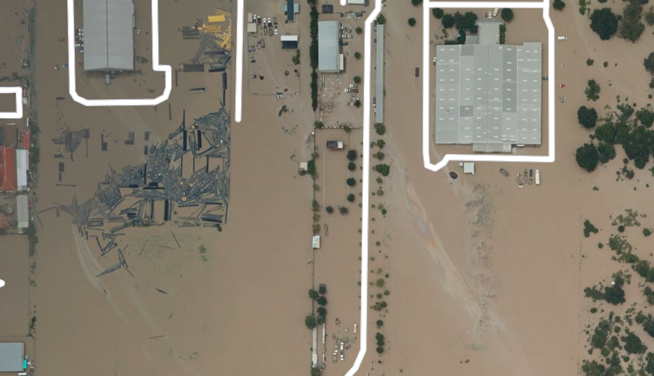
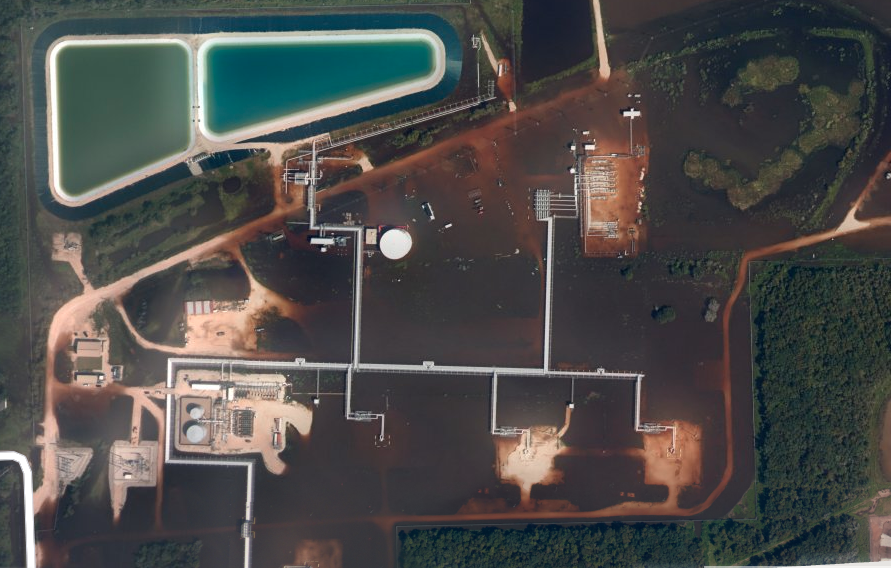
Read up on what we did and learned from doing the activity here and some good takeaways, for example, follow the rivers to look for the spills!
Best,
Stevie
Reply all
Reply to author
Forward
0 new messages