One-of-a-kind challenge: Fixing an area known as a city AND a region simultaneously (Lafayette, LA)
114 views
Skip to first unread message

Lafayette Travel
Feb 23, 2018, 12:02:31 AM2/23/18
to open-location-code
Hello all,
My name is Alex Labat, Director of Online Engagement with the Lafayette Convention and Visitors Commission. I'm a journalist by training and I've been at the job for a little under a year. After joining the DMO program through Google, I've gone down the rabbit hole in trying to fix our location data on Google and I think I'm close. Here is the issue we are running into.
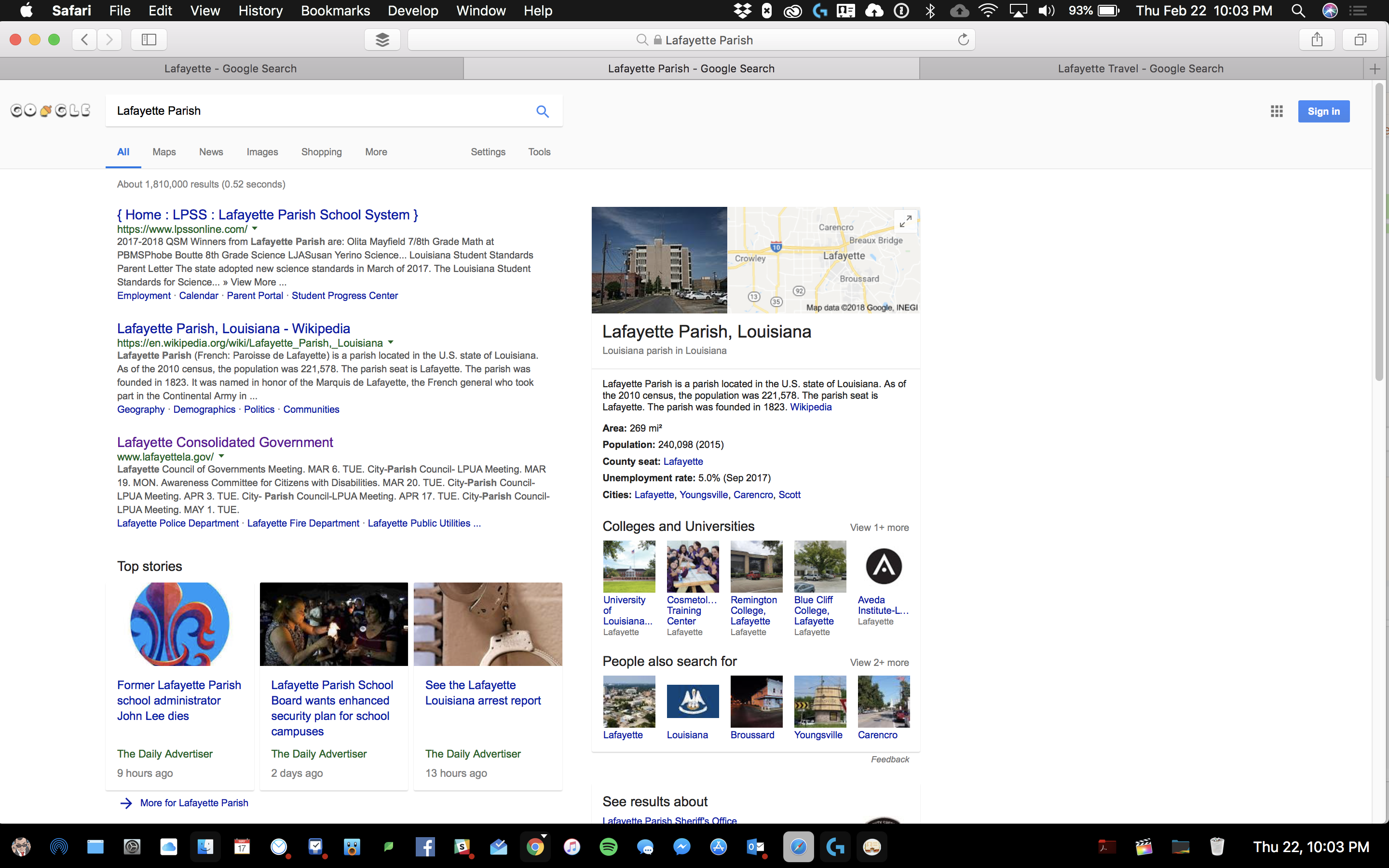
Louisiana has parishes, not counties.
My name is Alex Labat, Director of Online Engagement with the Lafayette Convention and Visitors Commission. I'm a journalist by training and I've been at the job for a little under a year. After joining the DMO program through Google, I've gone down the rabbit hole in trying to fix our location data on Google and I think I'm close. Here is the issue we are running into.
Louisiana has parishes, not counties.
Out of those parishes, Lafayette is the only area that has the same name for both the city AND the parish.
Lafayette Travel is the publically branded name for the Lafayette Convention and Visitors Commission, which is in charge of the Lafayette Visitors Center
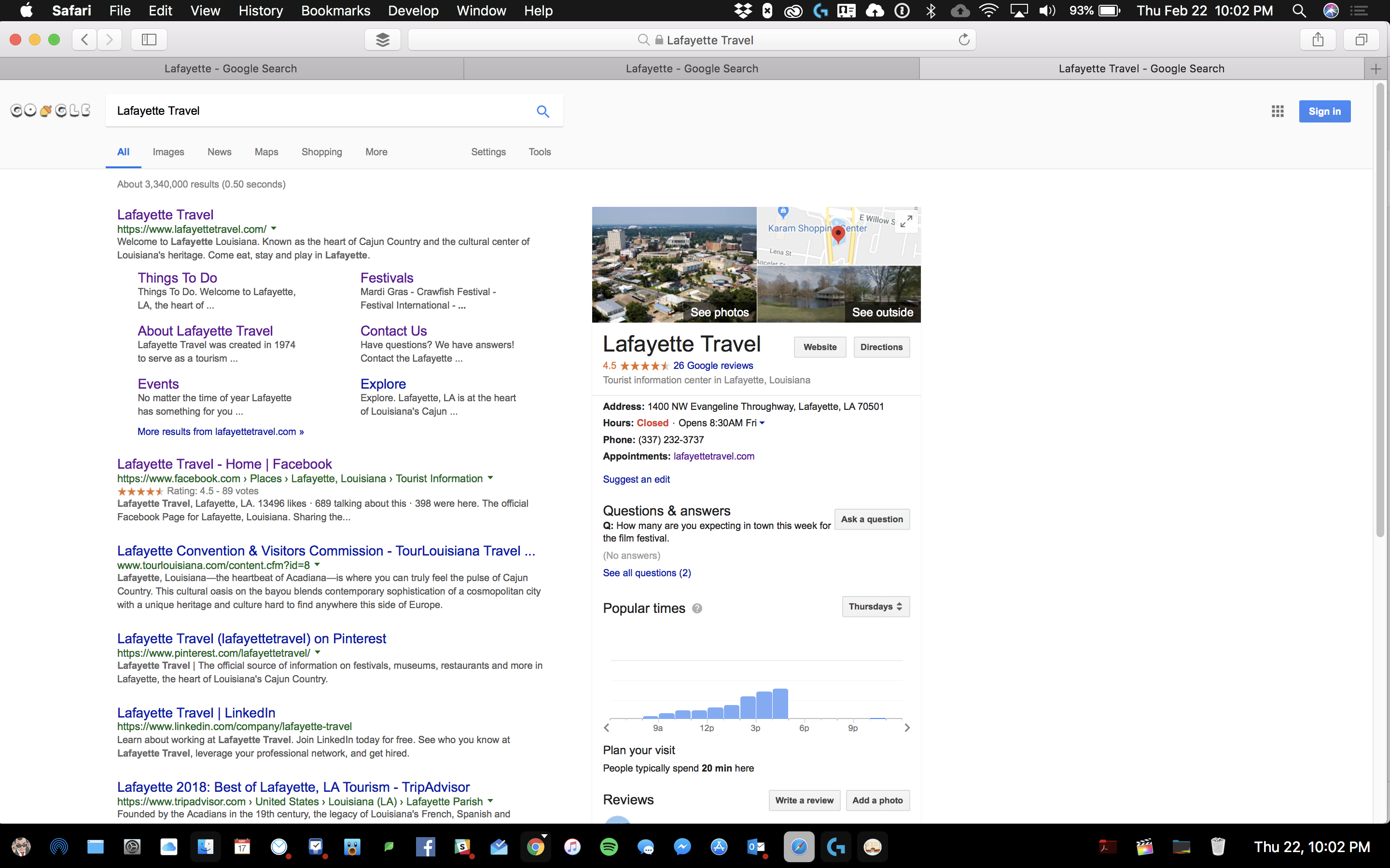
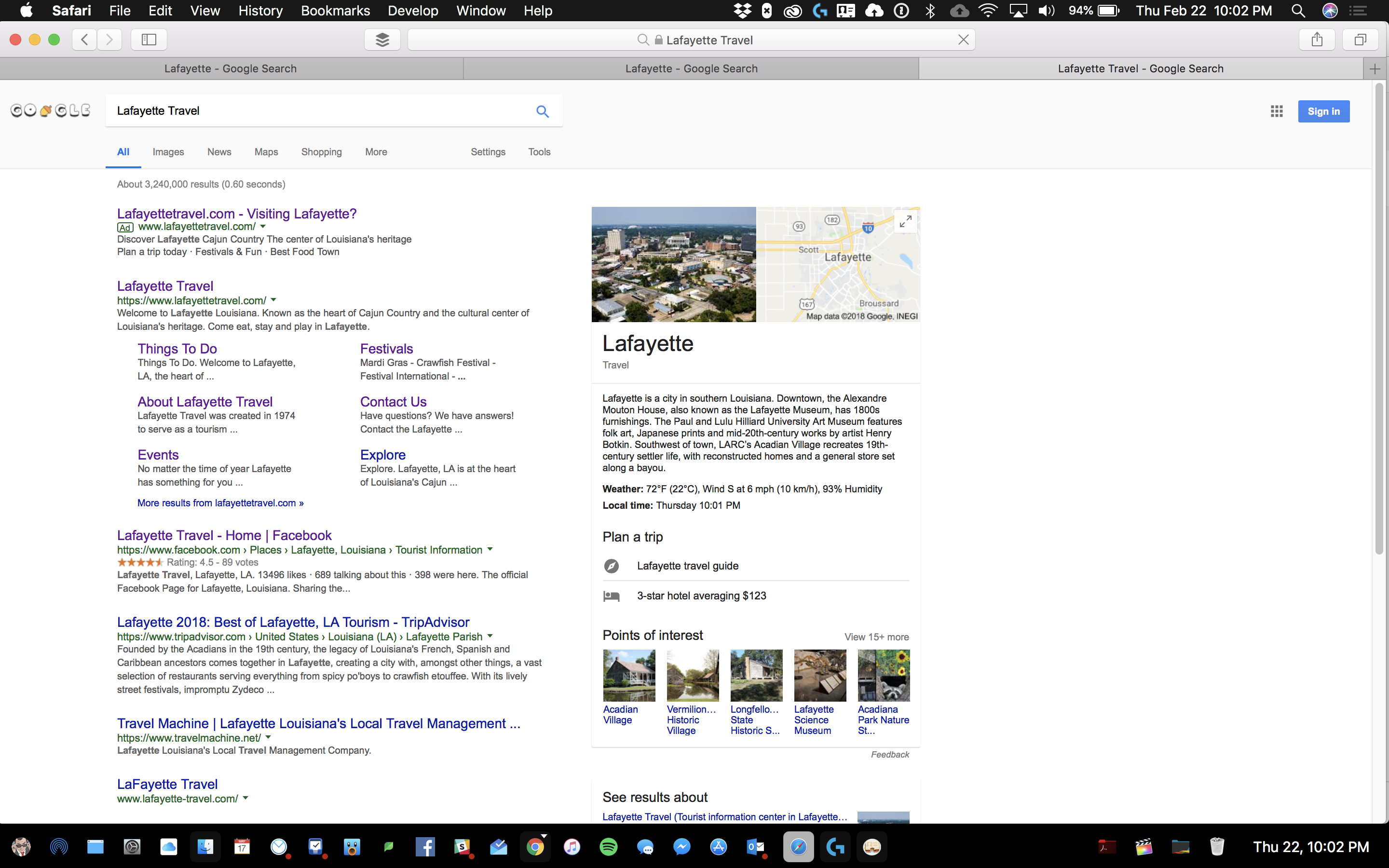
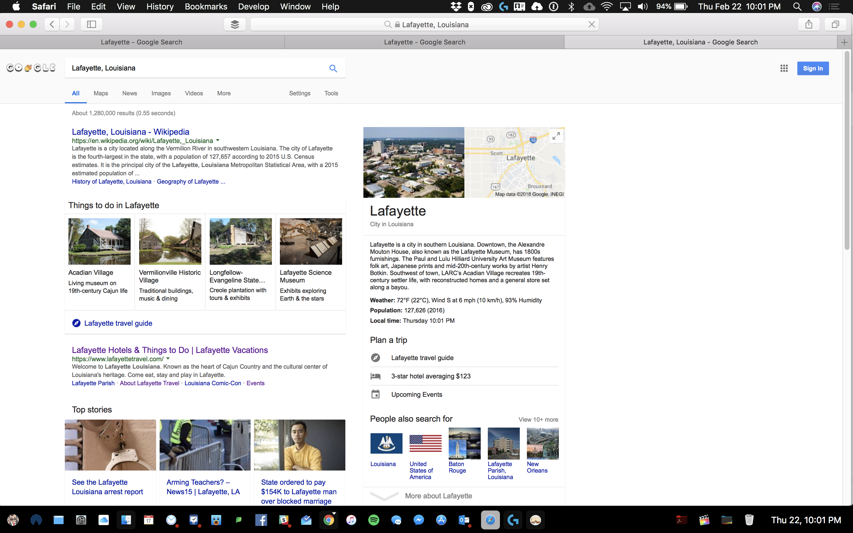
That's a lot to take in, I know. You'll notice that if you Google Lafayette, La and Lafayette Travel, the knowledge graph lists the same thing with only a slight variation in the name. Thanks to the DMO partnership program, I've begun the process of trying to wrangle this information and consolidate it (ironically, our governing body is the Lafayette Consolidated Government).
I'll cut to the chase. As the government entity tasked with cleaning up this data, I am trying to correct/update the Plus Codes so that the default location is set to our Visitor's Center instead of a randomly designated spot.


Whether visiting Lafayette (the city) or Lafayette (the parish), visitors are all coming to the same visitor's center.

Any help with moving forward with this will be greatly appreciated.

Andreas B
Feb 23, 2018, 9:24:42 AM2/23/18
to open-location-code
Hi Alex,
I believe this is not a problem with plus codes specifically, but with how Google Maps locates spatially extended features (like cities or regions) in general. If you enter the latitude/longitude coordinates of your first screenshot into the plus.codes map, you will find that these coordinates translate to the exact plus code you see. Quick link here: https://plus.codes/30.1895142,%20-92.0273190
So, the underlying problem here is that Google Maps thinks that putting a pin at (30.1895142, -92.0273190) is a good way of describing the feature "Lafayette Parish". It probably is, because if I want to get directions to a vague location like CITYNAME without exact street address, I'm probably satisfied when seeing a route that ends somewhere close to the city center. This is something these coordinates do. You'd need to get the coordinates changed to also change the displayed plus code. No idea if this is something that can be done via the DMO program you mention.

Alex Labat
Feb 23, 2018, 9:56:51 AM2/23/18
to open-location-code
Thank you for the quick response!
I’ll reach out, I didn’t know if this is something I would have access to via Fusion Tables or another means of accessing it. We “are” trying to get everything tied to a physical location and address which would be the welcome center.
Is there any way I can update this information?
I’ll reach out, I didn’t know if this is something I would have access to via Fusion Tables or another means of accessing it. We “are” trying to get everything tied to a physical location and address which would be the welcome center.
Is there any way I can update this information?
Reply all
Reply to author
Forward
0 new messages