Request for Updated shapefiles of district map of Madhya Pradesh
303 views
Skip to first unread message

Pratibha
Jun 20, 2022, 2:09:40 AM6/20/22
to data...@googlegroups.com
Dear team,
Can anyone please help me with the updated shapefiles of district map of Madhya Pradesh State which shows Agar Malwa district as well (formed in 2016) along with the other districts.
Unfortunately most of the shapefiles that I encountered are based on 2011 census and therefore doesn't show the district formed post 2011.
Also I wanted to know if there is any app where such shapefiles could be easily updated.
Regards

akula.g...@gmail.com
Jun 21, 2022, 2:04:46 AM6/21/22
to datameet
Hi,
you can find all the updated shapefiles in https://github.com/datta07/INDIAN-SHAPEFILES
you can find all the updated shapefiles in https://github.com/datta07/INDIAN-SHAPEFILES
for Madhya Pradesh district, you can get updated shapefile in
convert this geojson file to shapefile for your use.
Thanks & Regards,
Akula Guru Datta
Pratibha
Jun 27, 2022, 10:26:54 PM6/27/22
to data...@googlegroups.com
Dear Akula,
Thanks for the link.
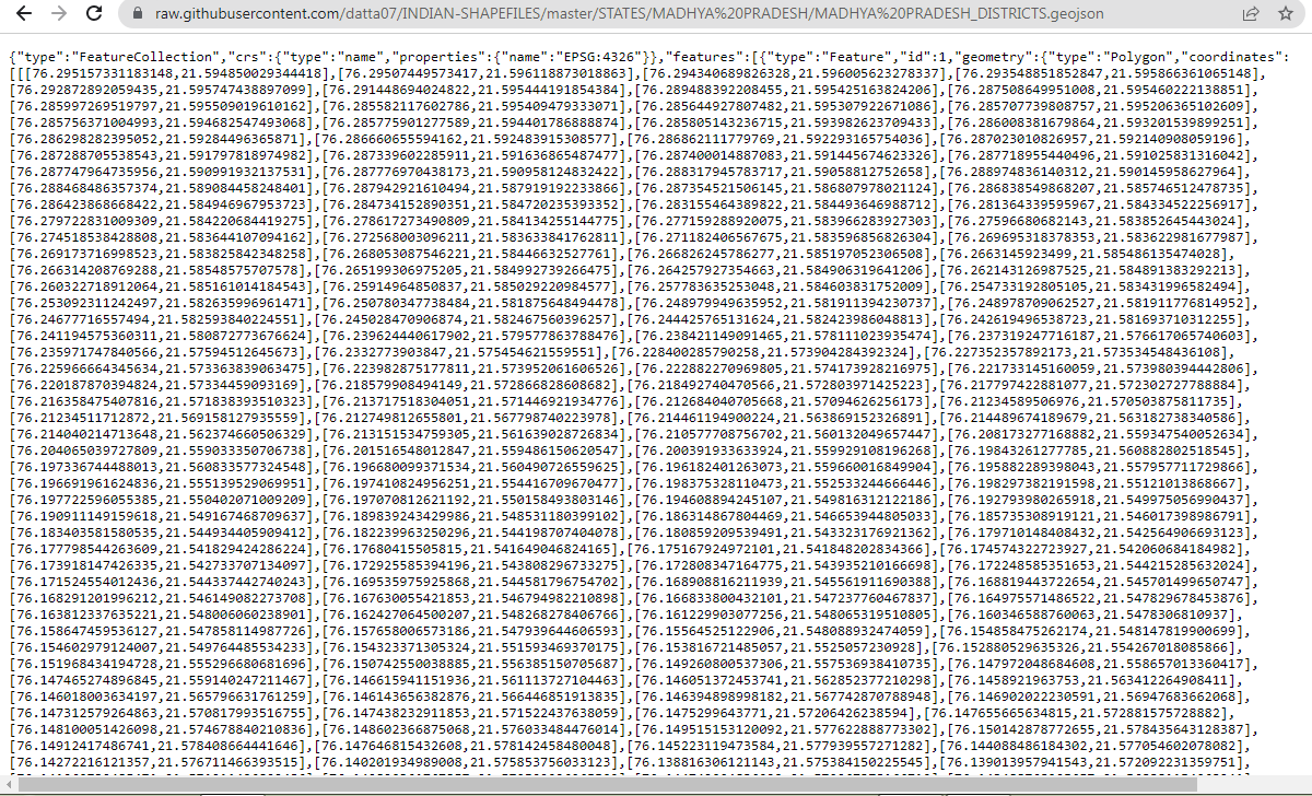
That's exactly what I am looking for. However I am not able to download the geojason file as pressing the download button is forwarding to the raw data view as shown in the picture, instead of activating the download in geojason format. Please help me out.
Regards
Pratibha
--
Datameet is a community of Data Science enthusiasts in India. Know more about us by visiting http://datameet.org
---
You received this message because you are subscribed to the Google Groups "datameet" group.
To unsubscribe from this group and stop receiving emails from it, send an email to datameet+u...@googlegroups.com.
To view this discussion on the web visit https://groups.google.com/d/msgid/datameet/17100f6b-2680-47a3-8a0f-380548f8d44cn%40googlegroups.com.

nikh...@gmail.com
Jul 8, 2022, 1:12:38 AM7/8/22
to datameet
Hi Pratibha,
Press Ctrl+S on your keyboard. Save the raw data you're seeing to your computer as a .geojson file.
All .geojson files are inherently text files only so they open up in text editors, browsers etc as raw text.
After saving the file, then you'll be able to load it in QGIS or so as shapes.
Regards
Nikhil
Reply all
Reply to author
Forward
0 new messages