Happy Independence Day and Open Indian Village Boundaries

Thejesh GN
!["Sharad Lele [शरच्चंद्र लेले]"'s profile photo](http://lh3.googleusercontent.com/a-/ALV-UjXN8K5Zpf6mG5YlxhYXCjnjm-dOEuupYx_HM3-ElFzDVA8aGgk3=s40-c)
"Sharad Lele [शरच्चंद्र लेले]"
Thejesh, thanks for this. I have two queries:
1. Is this effort different from the effort by Nisha? My impression was that we had (with the group) access to boundaries of many more states, but the issue was copyright etc, and that Nisha, you and some others were taking legal opinion on the same. Is what you have put out a result of that? What is the legal opinion?
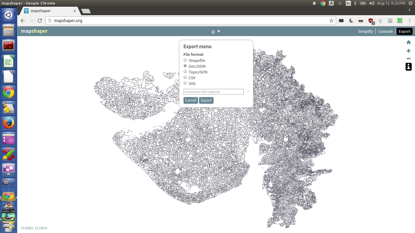
2. I think I have asked this silly question on the group before, but have to ask it again: what is the 'json' format, and why is it better to put the data out in that format than in .shp? And how does one convert from json to .shp?
Thanks.
Sharad
-
From: "Data{Meet}" <donot...@wordpress.com>
Date: 15 Aug 2016 10:27
Subject: [New post] Happy Independence Day and Open Indian Village Boundaries
To: <sbad...@atree.org>
Cc:
|
|

Sharachchandra Lele
Senior Fellow & Convenor
Centre for Environment & Development
Ashoka Trust for Research in Ecology and the Environment (ATREE)
Phone (office) (080)-2363-5555 ext. 317; (mob): +91-94800-15850
Email: sl...@atree.org Skype ID: sharad_lele
Personal webpage: http://atree.org/sharad_lele
Postal address: Royal Enclave, Srirampura, Jakkur P.O.
Bangalore 560 064, INDIA
President, Indian Society for Ecological Economics (2014-16) (www.ecoinsee.org)
Democratizing Forest Governance in India (published Sept 2014)
(edited by Sharachchandra Lele and Ajit Menon)
Oxford University Press, India

Arun Ganesh
2. I think I have asked this silly question on the group before, but have to ask it again: what is the 'json' format, and why is it better to put the data out in that format than in .shp? And how does one convert from json to .shp?
Thejesh GN
For some reason, this email by Thejesh did not show up datameet (or maybe I just missed it?). So forwarding it to the group.
Thejesh, thanks for this. I have two queries:
1. Is this effort different from the effort by Nisha? My impression was that we had (with the group) access to boundaries of many more states, but the issue was copyright etc, and that Nisha, you and some others were taking legal opinion on the same. Is what you have put out a result of that? What is the legal opinion?
2. I think I have asked this silly question on the group before, but have to ask it again: what is the 'json' format, and why is it better to put the data out in that format than in .shp? And how does one convert from json to .shp?
--
Datameet is a community of Data Science enthusiasts in India. Know more about us by visiting http://datameet.org
---
You received this message because you are subscribed to the Google Groups "datameet" group.
To unsubscribe from this group and stop receiving emails from it, send an email to datameet+unsubscribe@googlegroups.com.
For more options, visit https://groups.google.com/d/optout.
Thejesh GN
@arun: i will rename the attributes so the length of attribute name is 8. Can you put an issue. Easy to track.
@question: in census, they use subdistrict. Is it same as Taluk?
Also anyone has 2001 to 2011 village code mappings?

Devdatta Tengshe
Thejesh GN
@dev
I was planning to rename attributes because if someone converts these geojsons into shapefile then the name would remain same and reduce confusion.
What do you think?
Arun Ganesh

Nisha Thompson
Arun Ganesh
Thejesh GN

Sumit
To unsubscribe from this group and stop receiving emails from it, send an email to datameet+u...@googlegroups.com.

Craig Dsouza
Regards,Devdatta
To unsubscribe from this group and stop receiving emails from it, send an email to datameet+u...@googlegroups.com.
For more options, visit https://groups.google.com/d/optout.
--
Datameet is a community of Data Science enthusiasts in India. Know more about us by visiting http://datameet.org
---
You received this message because you are subscribed to the Google Groups "datameet" group.
To unsubscribe from this group and stop receiving emails from it, send an email to datameet+u...@googlegroups.com.
--Arun Ganesh
--
Datameet is a community of Data Science enthusiasts in India. Know more about us by visiting http://datameet.org
---
You received this message because you are subscribed to the Google Groups "datameet" group.
To unsubscribe from this group and stop receiving emails from it, send an email to datameet+u...@googlegroups.com.
--
--
Datameet is a community of Data Science enthusiasts in India. Know more about us by visiting http://datameet.org
---
You received this message because you are subscribed to the Google Groups "datameet" group.
To unsubscribe from this group and stop receiving emails from it, send an email to datameet+u...@googlegroups.com.
--
Datameet is a community of Data Science enthusiasts in India. Know more about us by visiting http://datameet.org
---
You received this message because you are subscribed to the Google Groups "datameet" group.
To unsubscribe from this group and stop receiving emails from it, send an email to datameet+u...@googlegroups.com.
Thejesh GN
To unsubscribe from this group and stop receiving emails from it, send an email to datameet+unsubscribe@googlegroups.com.

Justin Meyers
Sharad Lele
Your sample dataset looks interesting. I compared the Karnataka sample with the one that Thejesh had uploaded (which was shared from our archive). In some ways the match /fit with physical features is better, but some village shapes seem totally different and perhaps oversimplified. Could do a detailed check later. But I don't see any village codes/names in the attribute table. Are they present? Or linkable somehow? To census 2011?
It would be good to know this source of India-wide village boundaries... or perhaps you could simply share the full dataset.... At this stage, more the merrier.... :-)
Sharad
Thejesh GN
To unsubscribe from this group and stop receiving emails from it, send an email to datameet+unsubscribe@googlegroups.com.

Nishadh K A

Nikhil VJ
